The ABI provides high-resolution video of weather and environmental systems using 16 spectral bands that deliver three times the amount of spectral coverage, with four times the resolution and are five times faster than the previous generation of Geostationary Operational Environmental Satellites (GOES). The ABIs on NOAA’s two current satellites, GOES-East and GOES-West, enable more accurate meteorological forecasts, provide a greater ability to study and monitor climate change and allow experts to provide early warnings of severe weather conditions such as tornadoes, wildfires and hurricanes.
L3Harris also delivered a fourth imager to NASA that was integrated into the GOES-U satellite in January 2022 and is slated to launch in 2024. GOES-U will complete NOAA’s series of advanced geostationary weather sensors and provide the groundwork for future imager programs. L3Harris is underway with the next generation geostationary imager concept design.
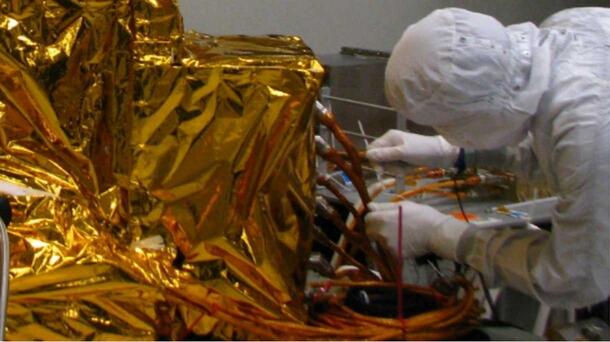
“L3Harris’ ABI has helped NOAA improve detection of wildfires, tornadoes and other extreme events that threaten lives. We have been pioneers in space-based weather monitoring for more than 60 years and continue to set a high standard of capability with our Advanced Baseline Imager. We look forward to driving further forecasting advancements as we continue our collaborative partnership with NOAA into the future.” Rob Mitrevski, Vice President and General Manager, Spectral Solutions, Space and Airborne Systems, L3Harris