Vexcel captures aerial data in several formats, offering the most comprehensive and consistent content library across the nation. Vexcel publishes aerial imagery and data in 40+ countries and territories, including the U.S., Canada, UK, Germany, France, Italy, Australia, New Zealand, Puerto Rico and Japan. Vexcel matches its aerial collections against ground control points for mapping-grade accuracy and a pixel-to-data match across its products. This technology uses today’s most advanced airborne sensors to capture high-quality, orthorectified imagery. Features include:
- Oblique Collections - Get a complete view of your site with images from all four cardinal directions—north, south, east, and west. See properties collected at a 45-degree angle in remarkable ultra-high resolution at 2.9” (7.5cm) or better.
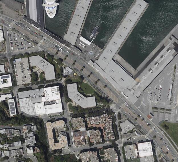
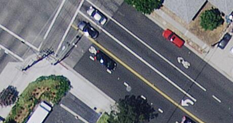
- TrueOrtho for Urban Area Collections - At a resolution of 2.9″ (7.5 cm) or better, TrueOrtho imagery helps you see your area of interest in stunning clarity and without building lean. Easily distinguish between objects on the ground and take accurate measurements of area.
- Ortho for Wide Area Collections - At a resolution of 5.9-7.8″ (15-20 cm) or better, Ortho imagery helps get the full picture with a nationwide aerial map. Vexcel captures high-resolution orthos in rural areas to expand your view beyond the city lights. Scan farms, parks, natural resources and less-populated areas from above in great detail.


