Since 1951, L3Harris has provided clients with cutting-edge geospatial data and imagery products. Over the years, we've helped clients identify the data sets they need to solve problems, monitor conditions, and meet project requirements — no matter their industry or field. Our expert photogrammetrists, programmers, and imagery scientists draw upon their vast experience and access to nearly all data types from top vendors to provide comprehensive solutions that remove project uncertainty so you can make swift decisions with confidence.
Advances in satellite imagery, location-based services, and Geographic Information Systems (GIS) software have made geospatial technology a part of our daily lives. It helps us shape how we live, work, and eat while solving some of the planet’s most urgent issues. Still evolving, geospatial technology has spurred improvements in transportation, construction, agriculture, disaster management, and other sectors — and so are our offerings.
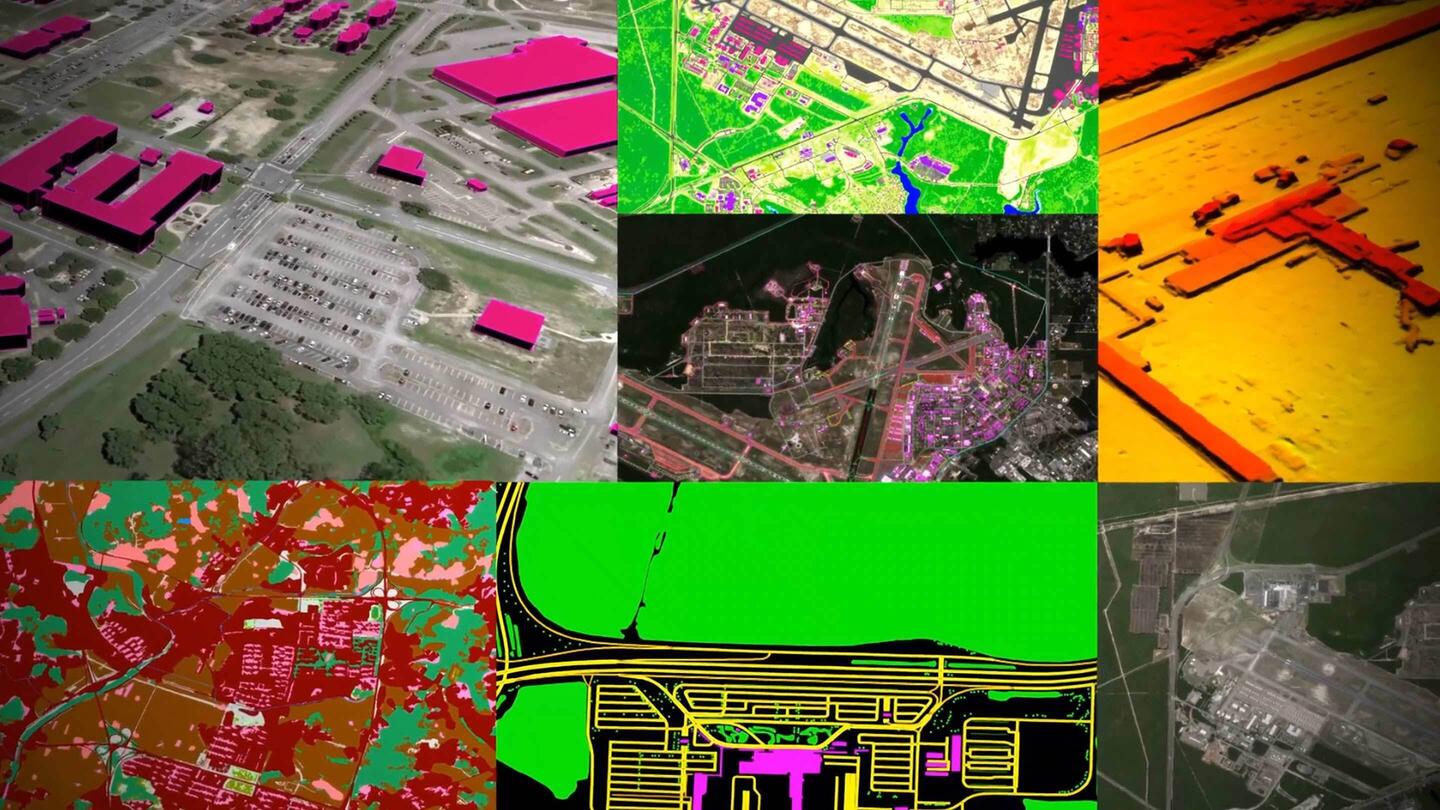
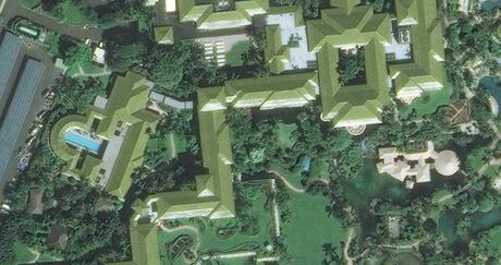
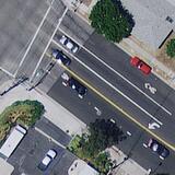
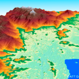
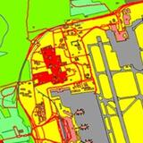
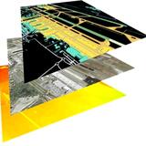
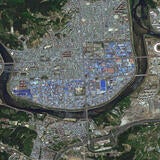
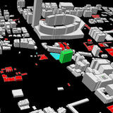
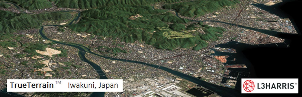
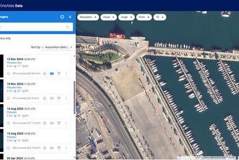
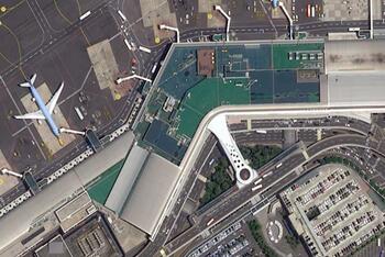
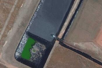
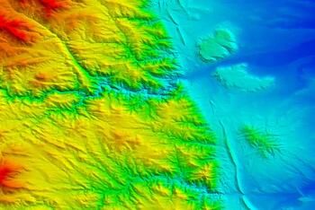
To learn more, browse our unmatched portfolio of cutting-edge geospatial data and imagery products, including aerial and topographic maps, 3D models, high-resolution satellite imagery, elevation data, and visual simulations.
| “I have purchased imagery from L3Harris multiple times, and I am always pleased with the selection, first class customer service and quick delivery of the product!" - Brian - Irrigation Technologies, USA |