The Leading Provider of Aerial Imaging Solutions
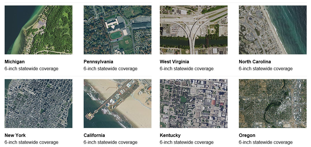
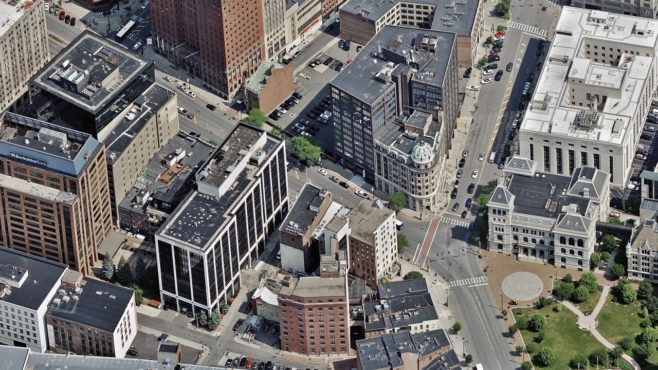
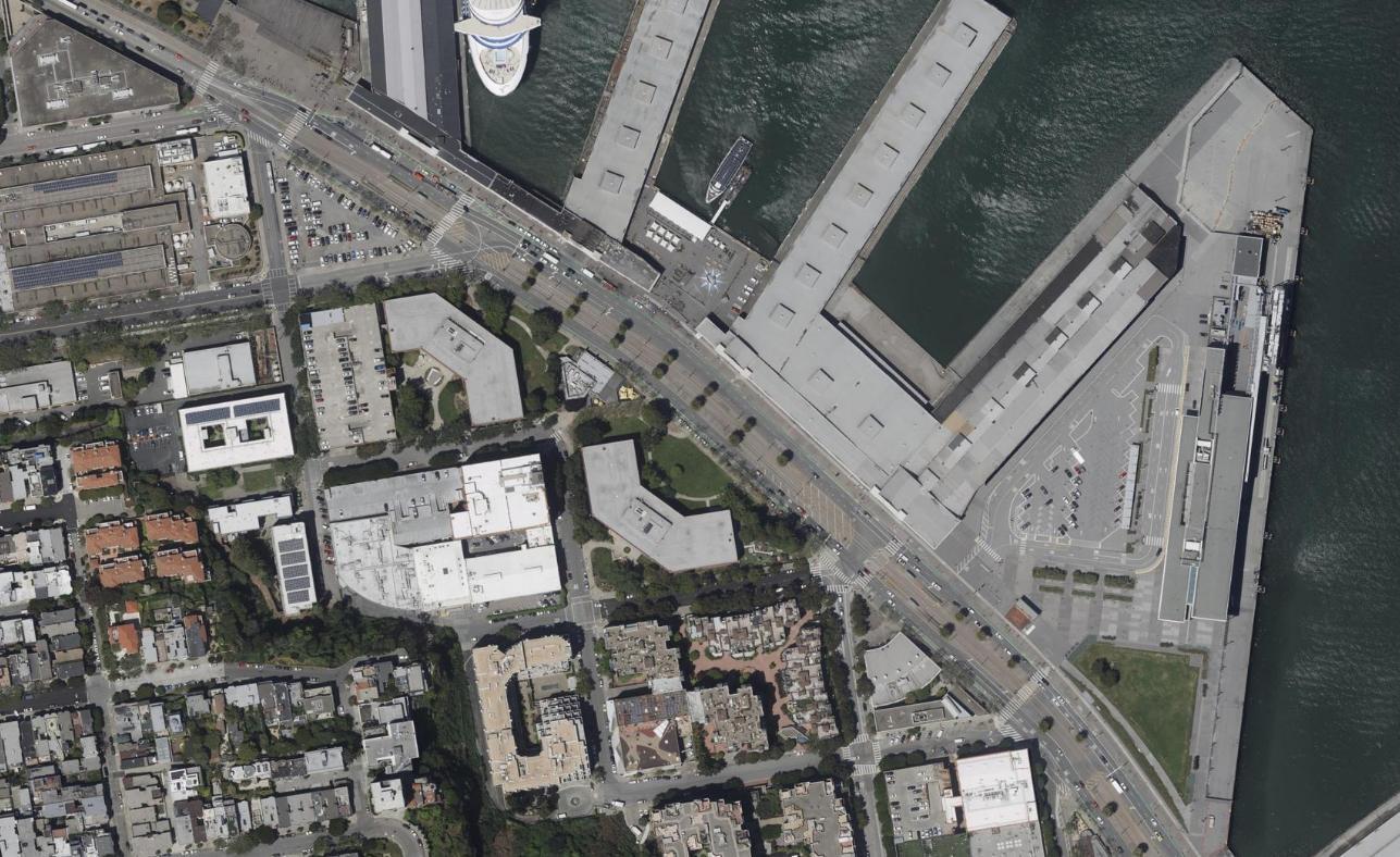
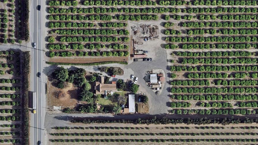
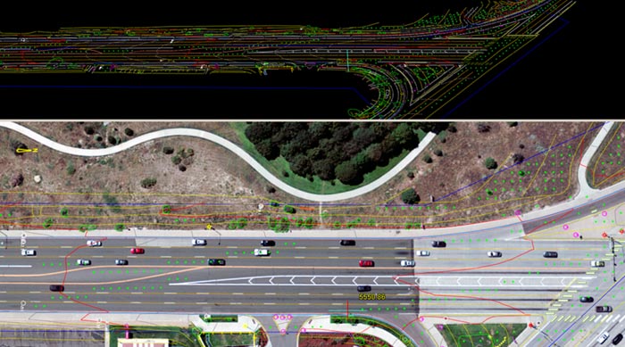
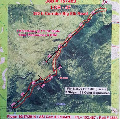
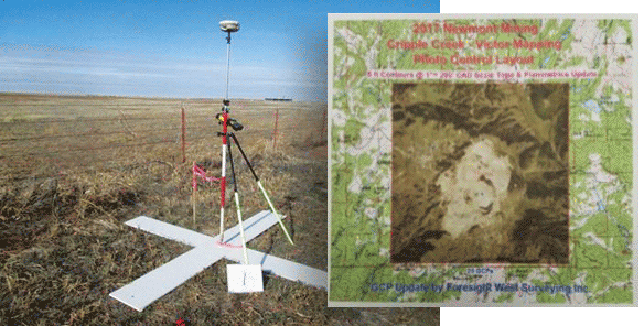
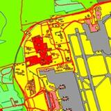
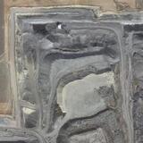
Many projects demand intricate mapping and precise measurements of a specific geographic area. Orthorectified aerial imagery is an ideal solution for that need. L3Harris provides accurate, reliable aerial imaging solutions to help clients address their basic and challenging geospatial problems.
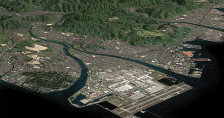
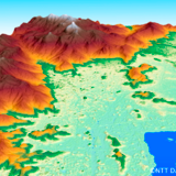
Aerial imagery, captured from airborne craft at much lower altitudes, offers significantly higher spatial accuracy and detail than satellite imagery. Users can also commission custom collections or aerial or UAV imagery that will allow for more control over the vintage, detail, and accuracy of the resulting imagery, allowing for the best use of the budget allocated for the specific project.
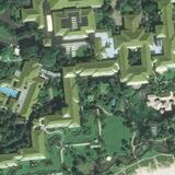
Whether you're analyzing a region or a specific site, our aerial imaging solutions will transform your data into actionable insights.
| “L3Harris imagery is fundamental in the creation of visual databases for our simulator. The imagery provided allows for the accurate placement of custom 3D objects to create a fully immersive training environment.” - Wing-Chiu Choi, ATC Specialist - UFA, Inc. |