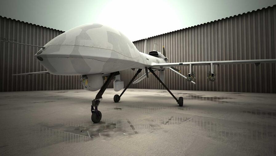
Airborne Remote Sensing
L3Harris leads the industry in turning sensor data into trusted information. For nearly 40 years, L3Harris has been delivering mission confidence to the geospatial intelligence community by developing and managing systems that collect, process, analyze and deliver remotely sensed data and information to solve the toughest mission challenges.
Advanced LiDAR Sensor Systems
Building on our history with airborne military surveillance technologies, L3Harris is providing lightweight airborne sensors for high-resolution LiDAR terrain mapping across varied terrains.
Bundled in a smaller package, our newest LiDAR sensor gives a competitive advantage to intelligence gathering and surveillance missions.
The flexible sensor system is capable of supporting mission planning (intelligence preparation of the battlefield), concealed target detection (multi-aspect foliage penetration), and tactical mapping missions from medium altitudes by providing look diversity over a vast range of area of interest sizes and slant ranges.
Hyperspectral Detection and Identification
L3Harris material identification capabilities quickly provide the information analyst with the data needed to take action.
Automated data collection and creation of spectral data products streamline the analysis processes. Analysis that used to take days or weeks can be completed in hours.
Our material identification:
- Detects, identifies and geolocates the presence or likelihood of existence of a variety of solids and gases—on the earth and in the atmosphere.
- Reduces time to higher-confidence decisions with operationally proven, real-time embedded hyperspectral processing and automated analytic tools.
Wide-Area Motion Imagery
L3Harris’ WAMI sensor payloads and processing solutions provide real-time activity-based intelligence in both tactical and strategic environments.
Our solutions help analysts observe vehicle tracks and traffic, study patterns of life, identify normal behavior and nodes of activity, and track trends to anticipate next behaviors. We provide solutions for:
- Persistent surveillance for today’s complex environments delivering actionable situational awareness that allow analysts to see what’s happening in real time.
- Automated tracking and multi-INT cross-cueing for real-time detection and coordination across multiple intelligence sources – signals intelligence and social media, full motion video, or hyperspectral imaging.
- Advanced tracking analytics enabling analysts to see events that are happening concurrently and establish interconnected patterns of life, including social interactions, destinations and origins of travel.