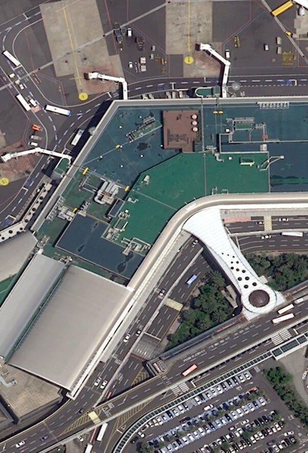
Geospatial Data Products


Schedule a Meeting
Visit the trade show website
I/ITSEC.orgThe appearance of U.S. Department of War visual information does not imply or constitute DOW endorsement.

The L3Harris geospatial data products team will be attending I/ITSEC. With global partnerships and multiple data suppliers, we offer flexible licensing options tailored to your budgetary requirements. Whether you require the latest data capture over specific airfields or global coverage up to 30 centimeters, our goal is to ensure your visual simulations are realistic, adaptable, and customized to your objectives.
Engage with our expert staff to discover the ideal geospatial data products for virtual training, including imagery, elevation data, vector feature data, 3D models, LULC, Material Classification, AMDB. No matter your geospatial requirements, we are committed to providing the precise data products necessary for your training and visual simulation programs.
For a detailed discussion about how we can support your geospatial needs, please schedule a meeting with our sales and customer support team during the I/ITSEC conference.
The appearance of U.S. Department of War visual information does not imply or constitute DOW endorsement.