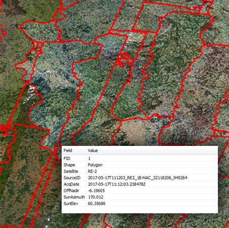
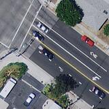
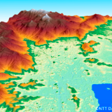
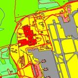
HIGH-RESOLUTION SATELLITE IMAGERY
OVERVIEW
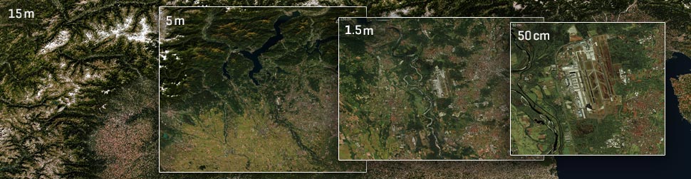
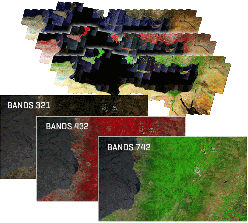
L3Harris has earned its reputation for identifying the right data sets clients need to solve high-stakes challenges, monitor conditions, and meet the requirements of high-profile projects. Our expert photogrammetrists, programmers, and imagery scientists marshal their experience and access to nearly all data types from top vendors to deliver comprehensive yet tailored geospatial solutions that reduce uncertainty and bolster confidence in your projects.
| “Throughout Aechelon’s twenty-one-year history, our company has maintained an unparalleled track record in program deliveries for the US Marine Corps, US Navy, US Air Force, US Army, Special Operations Command, US Government Foreign Military Sales Program and the US Coast Guard, thanks in part for relying on geospatial multi-spectral L3Harris data products.” - Javier Castellar, Co-Founder & Vice-President of Programs for Aechelon Technology |