IMPROVE AVIATION ACTIVITIES WITH AERODROME MAPPING DATABASES
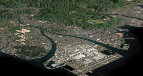
Clients around the globe use our superior aerodrome mapping databases to efficiently supplement surface navigation in their aerodromes and airports.
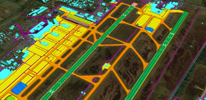
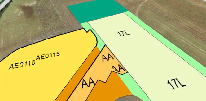
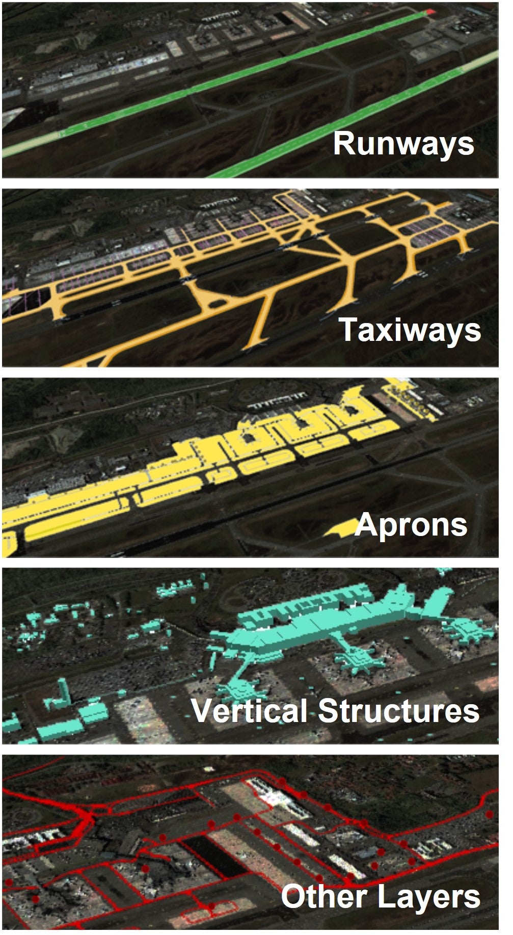
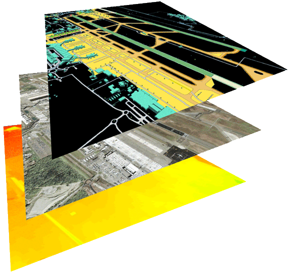
These databases contain detailed and accurate spatial information about the aerodrome's layout, features, and structures, helping pilots, air traffic controllers, ground operations staff, and other stakeholders navigate the ground safely and effectively. This includes planning flight paths, taxiing, parking, and coordinating activities on the ground to ensure smooth and safe operations.
Our aerodrome mapping databases’ many features include:
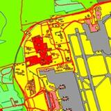
- Georeferenced imagery for digitizing key airport features — resulting in location, specific point, line, and polygon vector feature classes
- The accurate representation of aerodrome characteristics and functions
- Enhanced safety and situational awareness
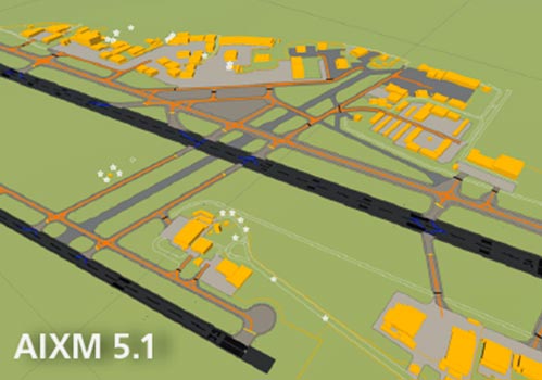
- Compliance with multiple industry standards
- Real-world consistency to increase familiarity with the aerodrome’s layout and characteristics