[This article has been updated, original publish date: April 22, 2020]
When John Romero, president of Owyhee Air Research (OAR), got into the business of wildlife research, he did so for the love of wildlife. Now, he says,
“it’s more a love of the work and the services we can provide.”
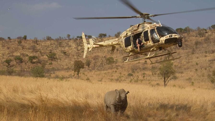
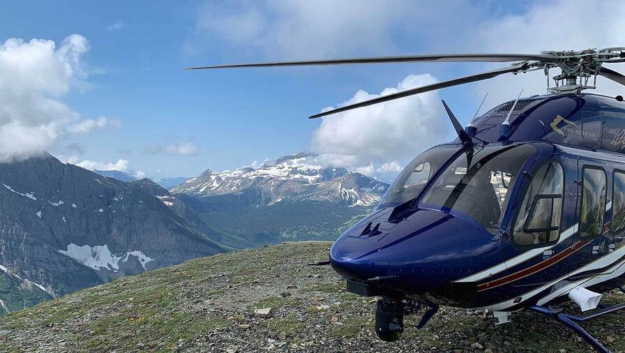
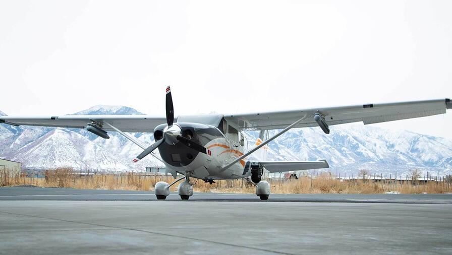
The Nampa, Idaho-based company is on the forefront of wildlife study, wildfire containment and natural resource surveying using L3Harris aerial infrared technology.
OAR started out in 2006 with wildlife research, and then they added aerial mapping using infrared for fire agencies, including the Bureau of Land Management and the U.S. Forest Service.
Romero explained that identifying birdlife when flying at high speed and high altitude is very difficult.
“We needed a camera with a very good stabilization system, and an infrared system that was capable of picking up a bird-sized critter out of the desert from a mile away.”
“When we flew the L3Harris WESCAM MX-10 system the quality of the infrared, the resolution, the clarity and the stabilization was pretty obvious right off the bat,” said Romero. “We didn’t fly any other system that was as stable as the WESCAM MX-10. It provided so much capability for us.”
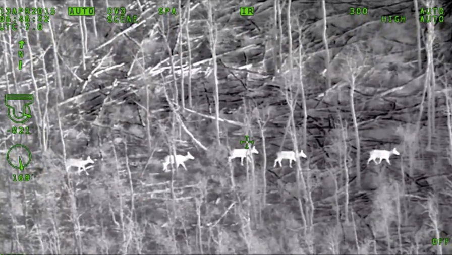
That stability allows OAR to integrate geographical information systems mapping with visual information from the WESCAM MX-10 to ensure the most accurate surveys possible. When performing wildlife surveys, the technology helps to determine the numbers and location of various species of animals.
Romero credits L3Harris’ product support for extremely dependable performance.
“Their technical support and their sales staff have just been superior,” Romero said. “We have several thousand hours with the WESCAM MX-10 now on both systems, and we have yet to have a single problem.”
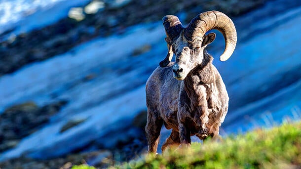
OAR has surveyed a wide range of species including sage grouse, Columbia sharp-tailed grouse, pheasant, elk, mule deer, coyote, bighorn sheep, moose, grizzly bear, salmon, feral pigs, pronghorn antelope, wolves, mountain lions, pelicans, cormorants and wild horses.
The WESCAM MX-10’s features enable OAR to perform its missions more safely thanks to the long-distance zoom. The ability to toggle between infrared and electro-optic modes also allow crews to operate in multiple conditions that include daylight, low-light and through smoke.
OAR’s natural resource focus led to additional work in firefighting, using the EO/IR technology to provide agencies with fire maps, hotspot detection and risk assessment and even livestreaming so that firefighters had reconnaissance on a fire in real-time. The information provided help to find hot spots, identify imminent threats to humans or property, and scout safety zones or escape routes.
The company today works with additional partners that include federal and state natural resource agencies, universities, Native American tribal governments and nature conservation organizations.
According to Romero, the addition of L3Harris’ EO/IR capability has helped grow OAR’s business, while doing work they love.
“We started out and did the original investment in the equipment thinking that if we build it, they will come, and it’s happened exactly that way,” Romero said. “Now that the word is out, we find ourselves extremely busy. It’s been very good for our company. It has been the greatest investment that we have made in the fact that it has brought all this business to us.”
Discover the full capabilities of the WESCAM MX-Series and the WESCAM MX-10 EO/IR imaging sensor system.
