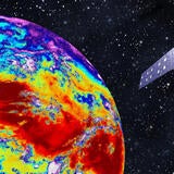
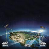
Enhancing Weather Forecasting
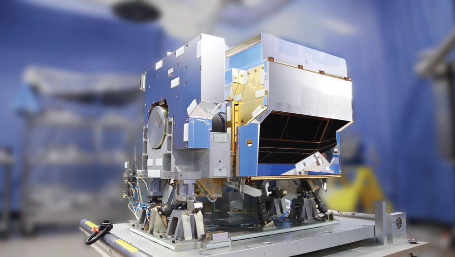
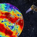
CrIS is the world’s most advanced hyperspectral sounder and a key sensor on the National Oceanic and Atmospheric Administration’s (NOAA’s) Joint Polar Satellite System (JPSS).
CrIS represents a significant enhancement over the legacy infrared sounder, the High- Resolution Infrared Radiation Sounder, also built by L3Harris. CrIS breaks infrared energy emitted by the atmosphere into more than 2,000 channels compared to 19 previously, resulting in better vertical resolution or more data at more levels of the atmosphere. The more levels of data, the better the weather forecast.
The CrIS instrument, designed and built by L3Harris, is an advanced spectrometer that produces high-resolution, three-dimensional temperature and moisture profiles from space. These profiles improve the accuracy of weather forecasting models, especially for extreme weather three-to-seven-days in advance. CrIS also aids “nowcasting” for severe weather, including thunderstorms and tornadoes, and improves understanding of longer-term weather and climate phenomena, such as El Niño and La Niña.
A Detailed Look at CrIS
A Fourier transform spectrometer, CrIS provides atmospheric soundings with 2,211 spectral channels over three wavelength ranges: LWIR (9.14-15.38μm), MWIR (5.71-8.26μm) and SWIR (3.92- 4.64 μm). The instrument has an 8-centimeter clear aperture and uses plane mirror interferometer technology.
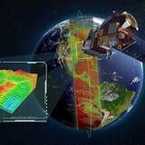
CrIS scans a 2,200 kilometer swath width, plus or minus 50 degrees, with 30 Earthscene views. Each view consists of nine fields of view (FOVs) with 14-kilometer diameter spots in a 3x3 array. Each scan, with an 8-second repeat interval, includes views of a warm calibration point (the internal calibration target) and a cold calibration point (a deep space view).
The overall instrument data rate is less than 2.41 megabits per second. L3Harris uses only photovoltaic detectors for the CrIS instrument.
The detectors are cooled to approximately 81 Kelvin using a four-stage passive cooler with no moving parts. They have a low-risk heritage design of over 50 space units.
Calibration
Calibration of the interferometer is accomplished with both laser wavelength calibration and a neon bulb spectral calibration. The internal calibration target (ICT) consists of a highly emissive, deep-cavity blackbody, utilizing a flight-proven, Advanced Baseline Imager heritage design. Temperature knowledge of the ICT is better than 40 millikelvin. A passive vibration isolation system is included to allow instrument operation in a 50 milli-G environment. The instrument optics are thermally decoupled from both the structure and the instrument electronics. The overall instrument design is modular, which allows for parallel assembly and rapid instrument integration.