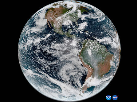
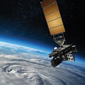
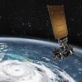
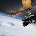
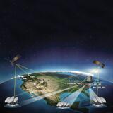
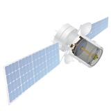
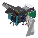
Sorry, you need to enable JavaScript to visit this website.
Skip to main content

Joint Polar Satellite System (JPSS)

About JPSS

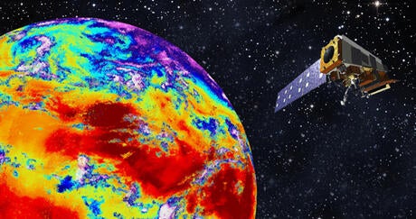
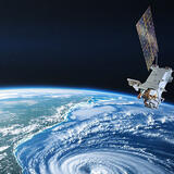
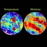
JPSS is the nation’s advanced series of polar-orbiting environmental satellites. They provide sophisticated meteorological data of Earth’s atmosphere, oceans and landscape for seasonal, short- and long-term monitoring and forecasting.

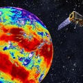
The JPSS fleet is enhancing weather forecasting by:

  • Orbiting Earth 14 times per day
  • Providing global coverage of weather observation twice a day
  • Enabling scientists and forecasters to study long-term climate trends

Additionally, JPSS is accelerating weather data to fuel accurate forecasting. The global measurements and data collected from the JPSS fleet will enable scientists and forecasters to more accurately predict severe weather three-to-seven-days in advance.

Mission Communications

The satellites use three different types of L3Harris equipment to communicate images and scientific data - an S-Band transceiver and two transmitters.

CTT-520 Transceiver

S-Band Transceiver

Our S-Band transceiver communicates with the Tracking Data Relay Satellite System (TDRSS), a NASA network that provides tracking data services between spacecraft in the low-earth orbit and ground stations.

T-748 High Data Rate Transmitter

Transmitters

Our X-Band transmitter is the High-Rate Data transmitter, which is the direct broadcast continuous downlink. It sends down real-time mission data to users equipped to capture the broadcast when JPSS-2 is overhead.

Our Ka-Band transmitter is the Stored Mission Data (SMD) transmitter, which transmits scheduled mission data to the ground stations. The two primary ground stations collect data from the SMD as the satellite passes.

Additionally, L3Harris provided the integral launch avionics suite for the first JPSS mission, for the JPSS-2 mission on the ATLAS V launch vehicle.

Related Weather News

NOAA's GOES-T Satellite

Press release | 05. 31. 2023

L3Harris Receives Contract to Support NOAA’s GOES-R Satellites

NOAA awarded L3Harris Technologies the Geostationary Ground Sustainment Services contract, valued at up to $275 million, to provide services that extend the functions of the Geostationary Operational Environmental Satellite-R (GOES-R) ground system.

NOAA's GOES-T Satellite

Press release | 05. 31. 2023

L3Harris Receives Contract to Support NOAA’s GOES-R Satellites

satellite in space

Press release | 04. 13. 2023

L3Harris to Build Geostationary Weather Satellite Sensors for Japan

Satellite hovers in space over earth and the eye of a hurricane

Press release | 03. 14. 2023

L3Harris to Design and Build NOAA's Next-Generation Geostationary Weather Imager

L3Harris CrIS instrument observes infrared channels, providing comprehensive temperature and moisture information to improve weather models.

Press release | 11. 10. 2022

L3Harris Infrared Weather Forecasting Technology Launches on NOAA Satellite

L3Harris CrIS instrument observes infrared channels, providing comprehensive temperature and moisture information to improve weather models.

Editorial | 11. 14. 2022

Committed to Creating a Weather-Ready Nation

Contact Our Weather Team

Address

Related Domains & Industries

Solutions that solve our customers' toughest challenges.
view all capabilities