Integrated with data link server
Through full integration with the L3Harris Network Enabled Tactical Link System data link server, TYR4 expands the tactical edge by allowing the exchange of surveillance data over air, sea, and land defense communications networks.
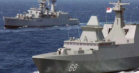
Web and hyper-converged virtualization technology is combined in TYR4 to provide the scalability needed to meet C4ISR missions ranging from OPVs to fully equipped Corvettes.
- Sensor integration through original equipment manufacturer specs or EuroControl Asterix Radar and identification, friend and foe messages
- Complete STANAG 5516 track categorization and identification
- Display of electro-optical and surveillance camera video with 24/7 recording
- Large screen/digital chart table display of TYR4 recognized maritime picture
- Common criteria EAL 4+ security configurations
- AIS track display and vessel data
- Archive and replay of track database
- Replay at 1X, 5X, 10X speed
- Integration to navigation systems using redundant broadband networking
- Optimized STANAG 4420 and Mil-Std-2525 symbols
TYR4 gives operators initiative tools to perform complex missions
Using field-proven software, TYR4 gives operators initiative tools to perform complex missions hosted within a flexible and secure hardware architecture. These tools include the ability to:
Manage local sensor and data link tracks using auto-correlation, track search, and track purge features
Vector-in ship’s rigid-hulled inflatable boat (RHIB), helicopter, and coordinating units by using a proven set of graphical decision aids including:
- Variable range markers
- Rulers
- Farthest-on circle
- Closest point of approach/intercept
- Route planning with waypoints
Control ship’s helicopter using surveillance radar video channels, plots, and track
- Helicopter safety-of-flight plans and procedures are available in a browser with the touch of a button
- Wind speeds (true and relative) are presented with other key weather data (barometric pressure, humidity, temperature, cloud height) that affect sortie decisions
Conduct search and rescue using internationally approved visual search patterns
Secure data flow between security zones that operate at different classification levels using certified security filters, data diodes, firewalls and CC EAL 4+ operating system, etc.
Reduce cost and complexity by hosting other ship’s mission applications on the TYR4 shipboard private cloud