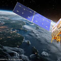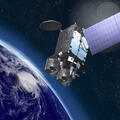
One year ago this April, GOES-19 assumed its operational role as GOES-East, completing America’s most advanced weather satellite network. Using imaging technology built by L3Harris Technologies, the constellation keeps an unblinking watch over the Western Hemisphere.
L3Harris joins the National Oceanic and Atmospheric Administration (NOAA) in celebrating the one-year anniversary of official operations for the satellite. The satellite has been transmitting terabytes of data daily to forecasters, forming the foundation for over 50,000 detailed weather warnings issued by the National Weather Service.
“Every day, the instruments our team designed and built are helping forecasters communicate information that saves lives and protects communities,” said Shikha Ganguly, General Manager, Weather, L3Harris. “As catastrophic weather events become more frequent, we are incredibly proud to support NOAA and its essential mission.”
Precision Tracking When It Matters Most
During the 2025 Atlantic hurricane season, GOES-19 took its place as sentinel supporting the National Hurricane Center’s path forecasting and warnings for the 13 named storms of the season, including the three Category 5 hurricanes Erin, Humberto and Melissa. Like its predecessors, GOES-19’s Advanced Baseline Imager (ABI) uses rapid-scan capabilities and 16 different spectral bands to provide forecasters with crucial, continuous high-resolution data.
L3Harris designed and built the ABI, the primary payload instrument for the entire GOES-R Series, ABI provides high-resolution imagery forecasters depend on.
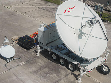
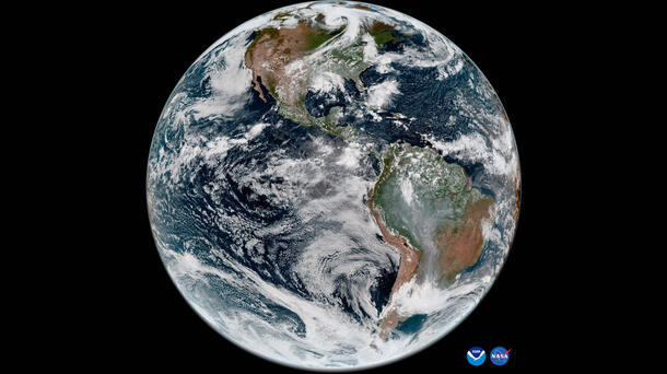
Every hurricane forecast, tornado warning, or other alert that gives families time to seek shelter: All rely on data streaming continuously from GOES-19 and its western counterpart from 22,236 miles above the equator. The satellites capture full-disk imagery of Earth every 10 minutes and track severe storms as often as every 30 seconds.
The impact of this capability is far-reaching. GOES data guides accurate forecasting, which in turn allows emergency managers to coordinate evacuations, airlines to reroute flights, and power companies to prepare critical infrastructure.
Building the Future of Weather Observation
GOES-19 is part of a global ring of satellites that includes seven L3Harris ABI-class instruments – four for NOAA, two for Japan and one for South Korea. L3Harris is also developing the imager for NOAA’s Geostationary Extended Observations (GeoXO) satellite system, which will expand observations of Earth that the GOES-R series currently provides by introducing resolution improvements to seven observation channels and introducing two entirely new channels for lower troposphere water vapor measurement, beginning in the 2030s. L3Harris is also providing the advanced imager and sounder instruments for Japan’s next-generation Himawari-10 and the imager for Korea’s GEO-KOMPSAT-5 mission.