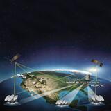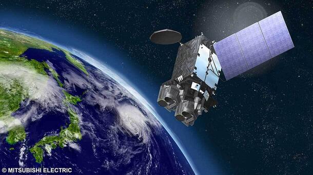
MELBOURNE, Fla., Jan. 9, 2025 — L3Harris Technologies (NYSE: LHX) has successfully completed the Preliminary Design Review (PDR) of key components for the Japan Meteorological Agency’s (JMA) new geostationary meteorological satellite, Himawari-10, which Mitsubishi Electric Corporation will manufacture.
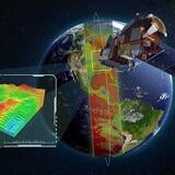
The PDR confirms the baseline designs for the Himawari-10’s advanced imager and hyperspectral infrared sounder, instruments that will improve forecasts for typhoons and other extreme weather impacting Japan and the Asia-Pacific region.
“L3Harris is an industry-leading provider of precision satellite technology for our valued customers in Japan and around the globe,” said Ed Zoiss, President, Space and Airborne Systems, L3Harris. “Our world-class weather instruments will assist JMA in their efforts to enhance real-time disaster monitoring and warning capabilities.”
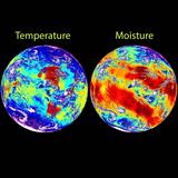
The imager leverages L3Harris’ proven Advanced Baseline Imager technology and features tailored spectral bands designed to support Japan’s weather forecasting priorities as well as the advanced data and imagery needs of the international community. The sounder will gather three-dimensional measurements of atmospheric temperature and humidity for more accurate forecasts and warnings.
L3Harris received a five-year contract in 2023 to build and deliver the advanced imager and sounder for the satellite.
About L3Harris Technologies
L3Harris Technologies is the Trusted Disruptor in the defense industry. With customers’ mission-critical needs always in mind, our employees deliver end-to-end technology solutions connecting the space, air, land, sea and cyber domains in the interest of national security. Visit L3Harris.com for more information.
# # #