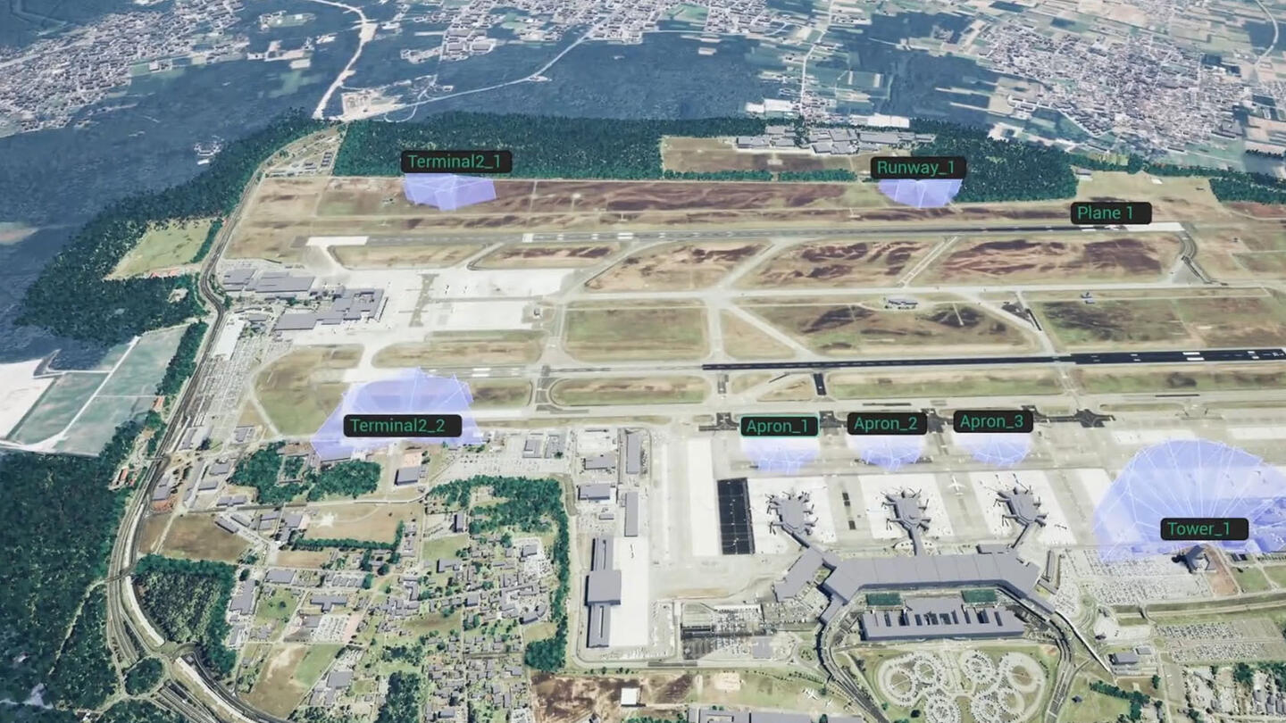

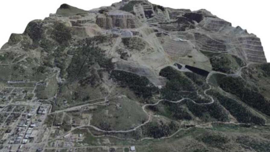
Commercial Geospatial Dataset in Action: Integrating Camera Views within a 3D Environment
THE #1 SOURCE FOR GEOSPATIAL MAPPING SOLUTIONS
If your project is on Planet Earth, we can map it.
Geospatial mapping involves capturing, storing, analyzing, and presenting geographic data to visualize real-world features, patterns, and trends. It provides clear, actionable insights about your area of interest, empowering you to predict, anticipate, prepare for, identify, and address any challenges your project might face.
Our geospatial mapping tools have infinite applications. Mining, dam building, road building, environmental monitoring, flood modeling, border monitoring, geopolitical unrest, disaster mitigation, documenting structures near pipelines, agriculture, urban planning, and water management are just a few examples.
As our world changes, the number of uses will only increase. Geospatial mapping is already an essential tool for monitoring land-use changes. It's also helping us forge a more innovative and resilient future.
If you have geospatial mapping challenges, we can solve them:
Do you need to see which structures would be affected by a dam burst or rapid snowmelt?
A 3D model will help you visualize and mitigate that situation.
Do you need to see how quickly urban sprawl is encroaching on the habitat of a threatened species?
A time series of imagery will paint that picture.
Do you need to spot check dozens of small sites periodically or as needed for any changes?
An imagery streaming service makes it quick and easy — for any location.
Do you need to locate utility poles that may be affected by an approaching ice storm?
High-resolution aerial imagery will help create that data layer.
Do you need to find gold and gems buried beneath the earth’s surface?
Sorry, we can't solve that one — but using imagery to monitor changes to a mine over time might help.
L3Harris offers the most extensive selection and highest quality geospatial datasets available anywhere. Over the years, we've helped clients identify the datasets they need to solve problems, monitor conditions, and meet project requirements — regardless of industry or field. Our geospatial experts draw upon their vast experience and access to nearly all data types from top vendors to provide comprehensive solutions that remove project uncertainty — so you can confidently make swift decisions. Your geospatial data is your most valuable resource. Contact L3Harris to maximize your data’s potential.
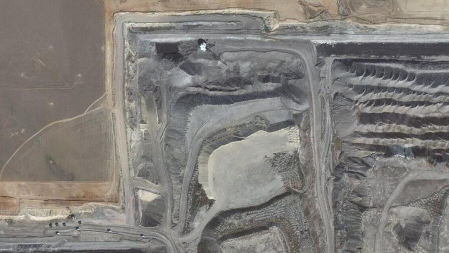
| “The exceptional images provided by L3Harris assist with various land processes and serve as a trusted preliminary source for mine development, advancement, and reclamation” - Kurtis Popkie, Westmoreland Mining |
THE #1 SOURCE FOR GEOSPATIAL MAPPING SOLUTIONS


Related News


Related Domains & Industries
Solutions that solve our customers' toughest challenges.
view all capabilities