Satellite Imagery Services

Image Processing Services

L3Harris will work with you to meet your low-, medium- or high-resolution satellite imagery project’s cost, coverage, schedule, and quality constraints needs. Our staff of imagery scientists and analysts have decades of experience in creating products for government and commercial customers.
Classification Services

Material Classification

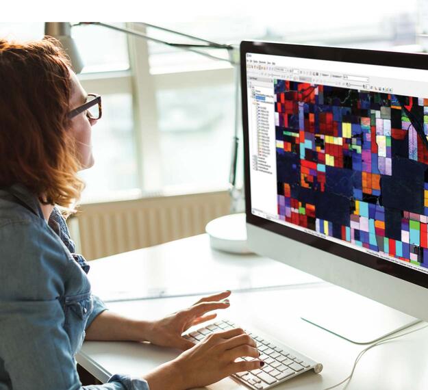
We can extract advanced material classification from all multispectral bands available, identifying the two dominant materials and the relative abundance of each material for each pixel in the data set.

Related Domains & Industries

Solutions that solve our customers' toughest challenges.
view all capabilities