Elevation Data
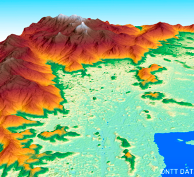
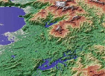
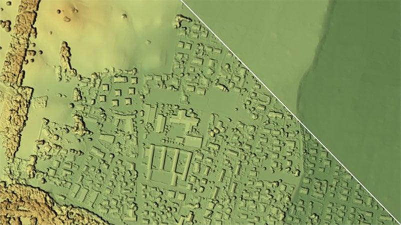
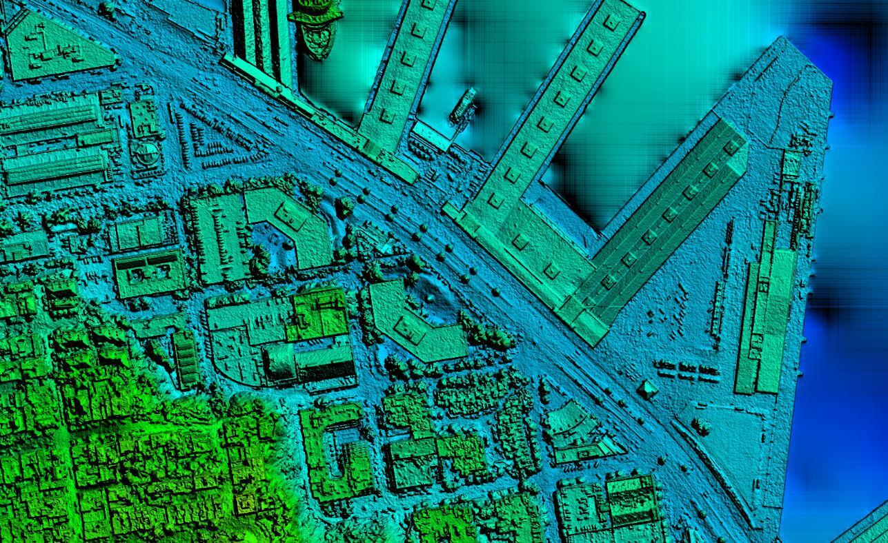
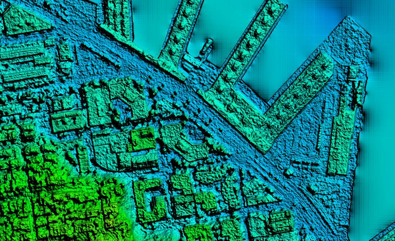
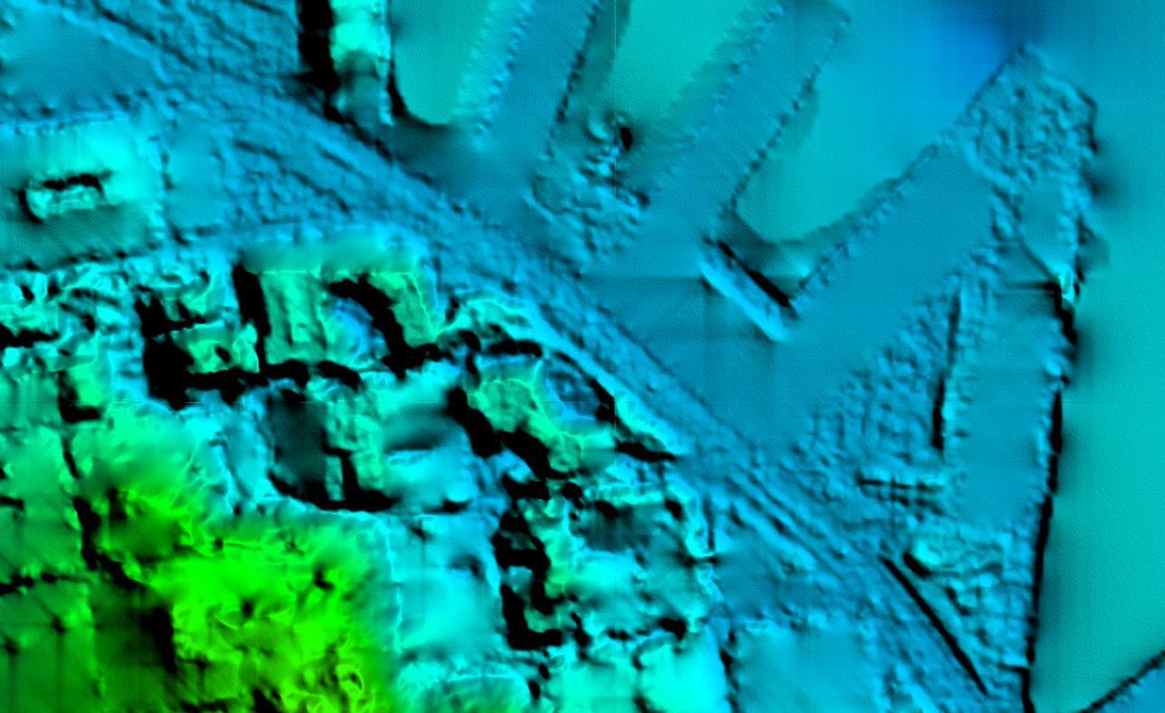
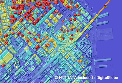
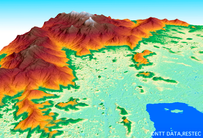
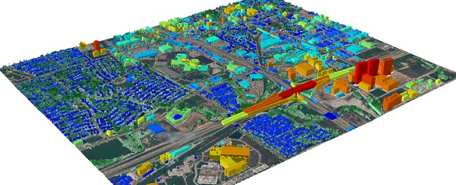
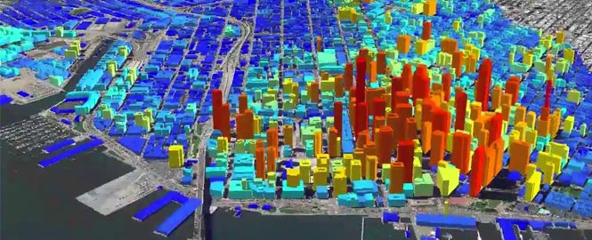
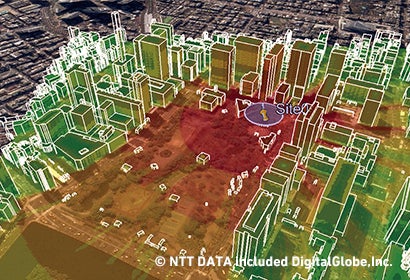
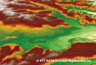
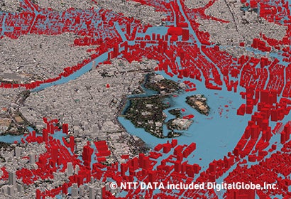
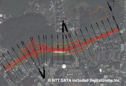
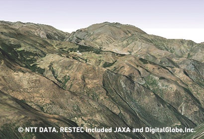
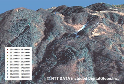
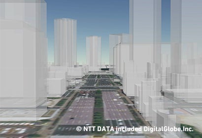
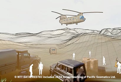
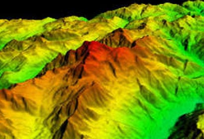
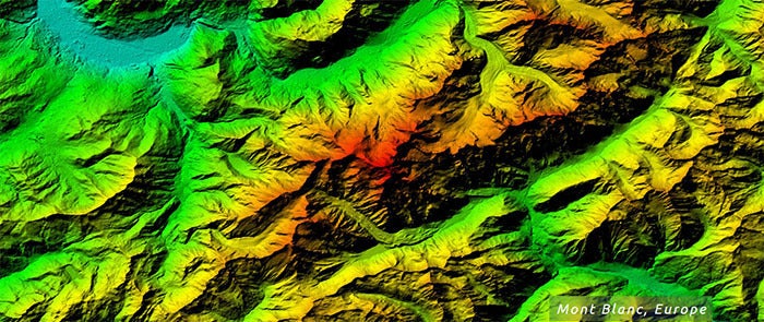
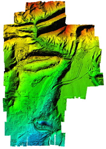
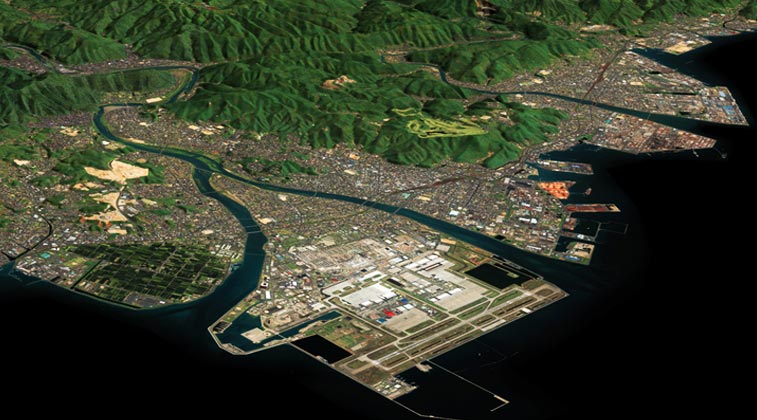
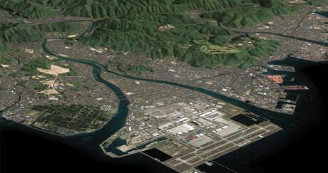
Render any area on Earth in meticulous detail with our wide range of custom Digital Elevation Models. L3Harris can use various data sources (satellite, aerial, and LiDAR) to automatically process and produce high-quality, high-resolution, and high-accuracy Digital Elevation Models over large areas. For decades, clients in industries such as visual simulation, mapping, engineering, and urban planning have relied on our domain expertise to help them get the most out of their data.
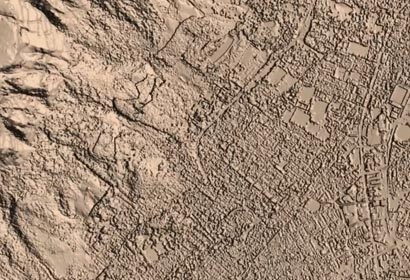
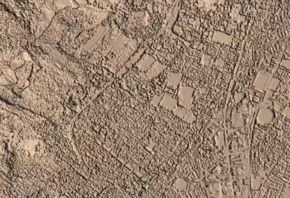
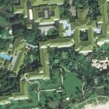
Our Digital Surface Models (DSM) and Digital Terrain Models (DTM) are available at various resolutions - 0.5 meter to 90 meter. A DSM represents the Earth’s surface and includes vegetation and artificial objects, while a DTM represents the Earth’s surface without objects like vegetation and buildings. For areas with insufficient archive elevation coverage, our data experts can create custom elevation data applications and partner with top public and private vendors from around the globe to develop new datasets tailored to your unique needs.

| 
|
Finding the right image or data is rarely easy. Contact us if you need to learn more about the type of Digital Elevation Model your project requires or if a sensor doesn't cover your area of interest. Whether it's tasking satellite imaging technology to get it or mining our vast archive of datasets for context, L3Harris will deliver you the right imagery for your project.
| “L3Harris’s ability to convert images into our distinctive coordinate system while maintaining integrity of photo has given us an additional source of survey verification” — Kurtis Popkie, Westmoreland Mining |
