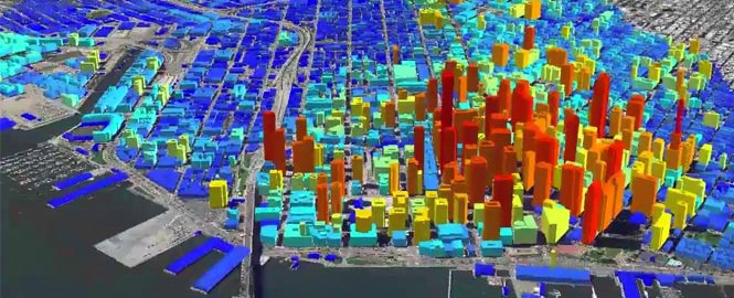
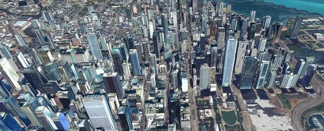
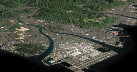
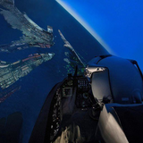
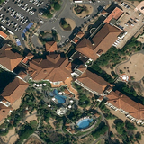
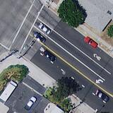
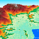
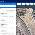
VISUALIZE COMPLEX ENVIRONMENTS WITH 3D CITY MODELS
Need to model a large area? Whether it’s a piece of sprawling farmland or a bustling, densely packed city, L3Harris can help. We've developed proprietary tools that use project and archival data to create 3D city models with superior accuracy, realism, and precision. Our 3D city models enable virtual exploration, analysis, and simulation of cities — making them perfect for applications ranging from urban planning and real estate development to disaster management and smart-city initiatives.
We deliver detailed models from simple to complex in every format, including 3D shape files, DXF, Geo VRML, VRML, OpenFlight, InReality™, and Maya ASCII. Additional features include:
- Geospecific textures derived from imagery can be applied to the buildings where available
- Photogrammetrically derived building heights produce accurate and realistic representations of structures
- Multiple supported industry-standard formats are available, including OpenFLT, AutoCAD DXF, OBJ, and more