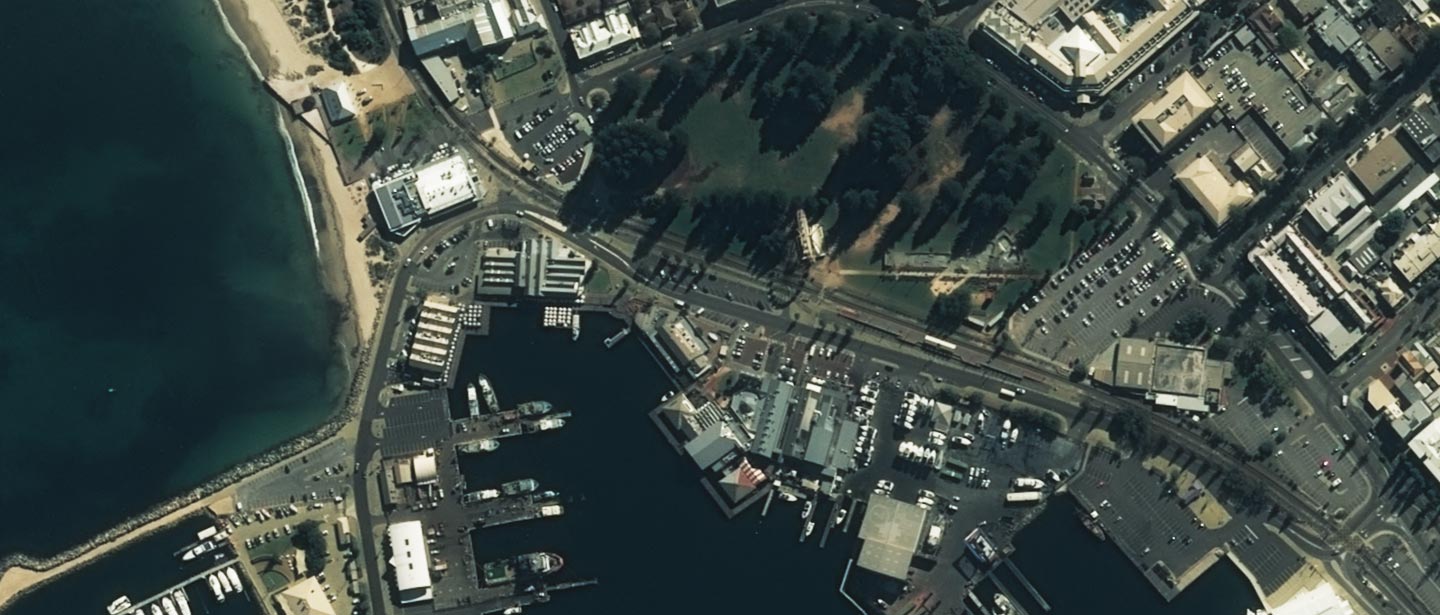
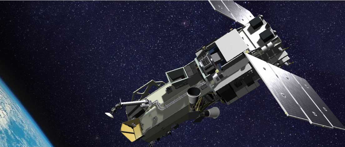
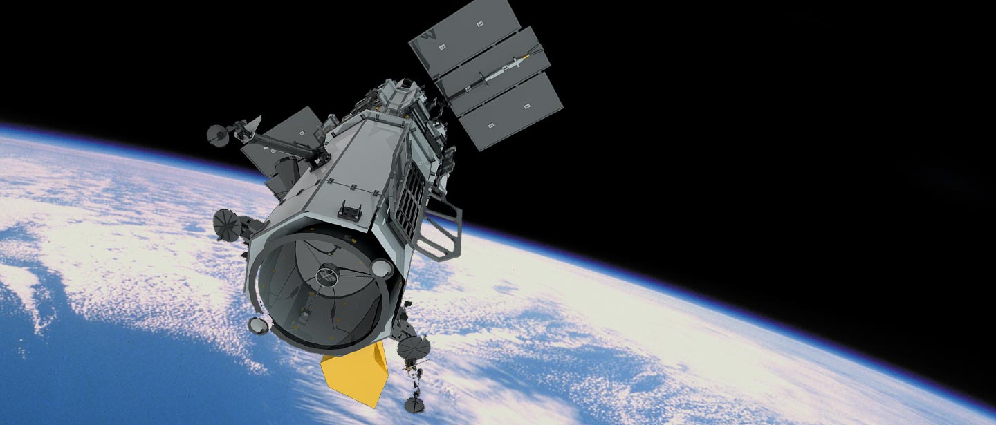
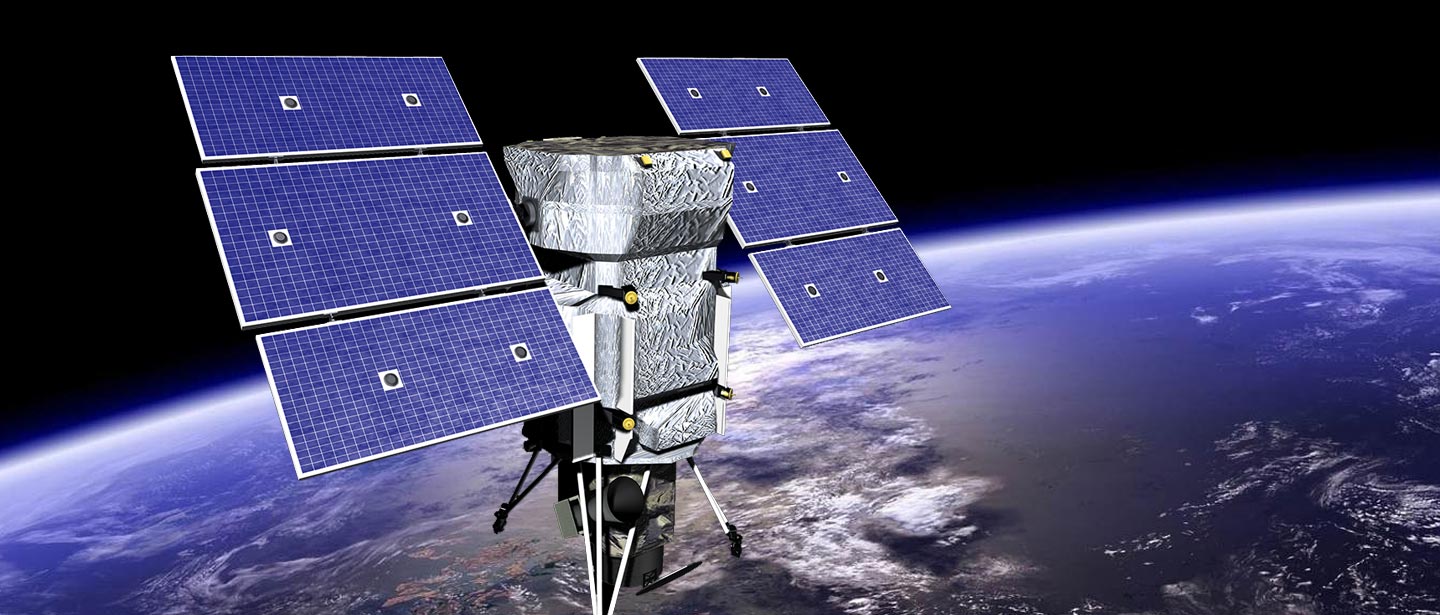
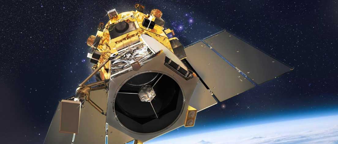
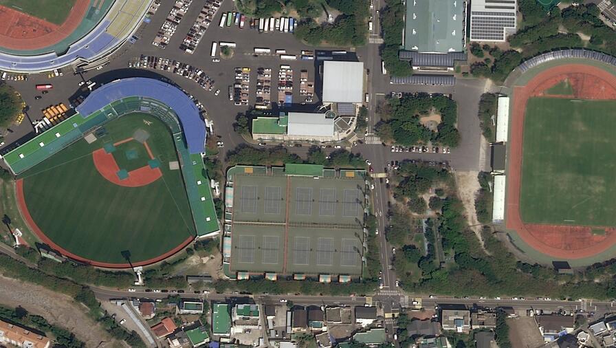
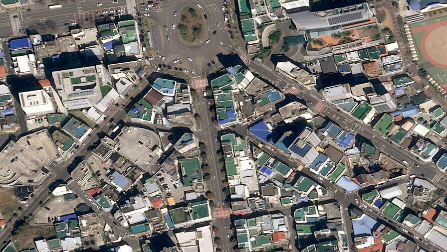
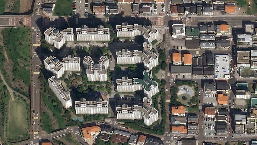
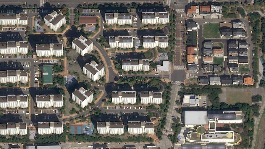
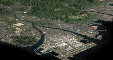
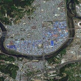
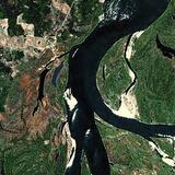
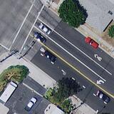
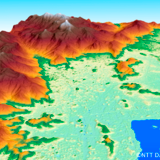
The Leading Provider of High-Resolution Satellite Imagery
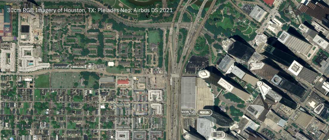
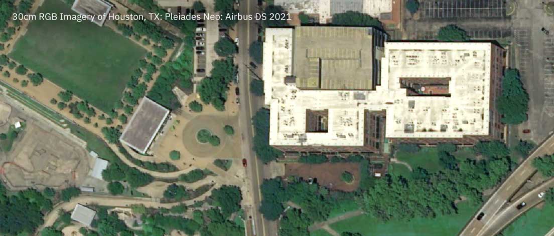
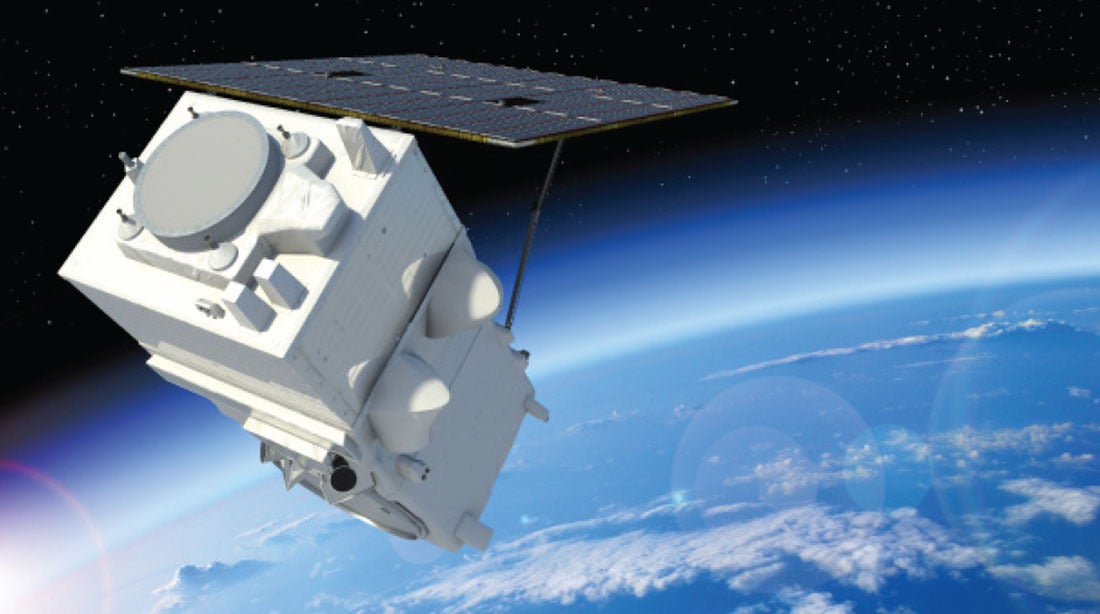
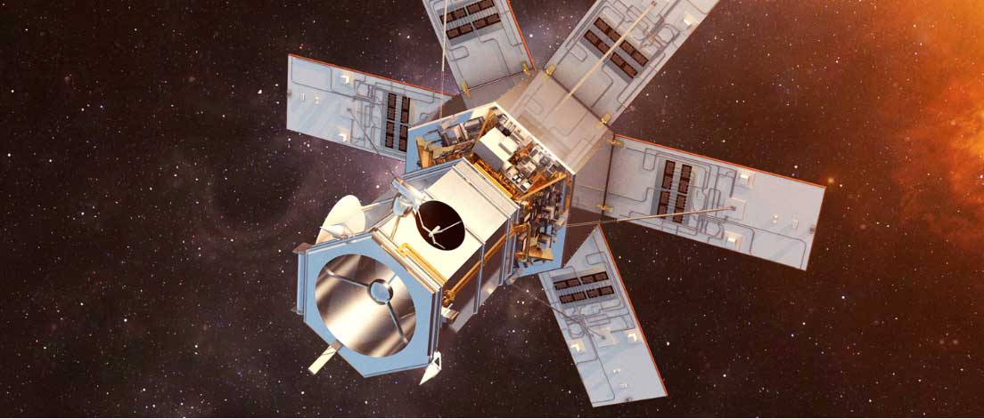
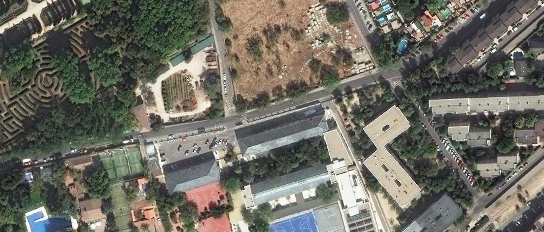
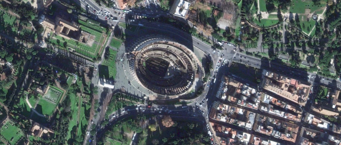
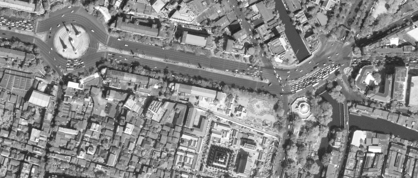
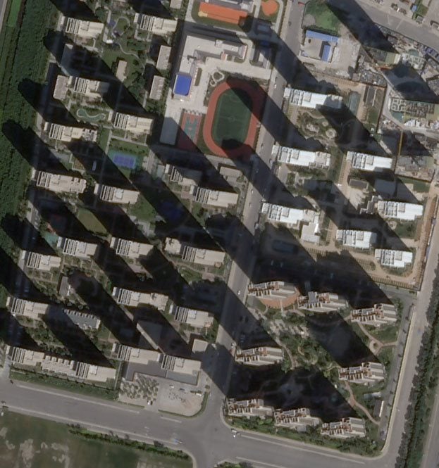
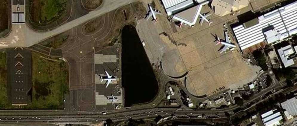
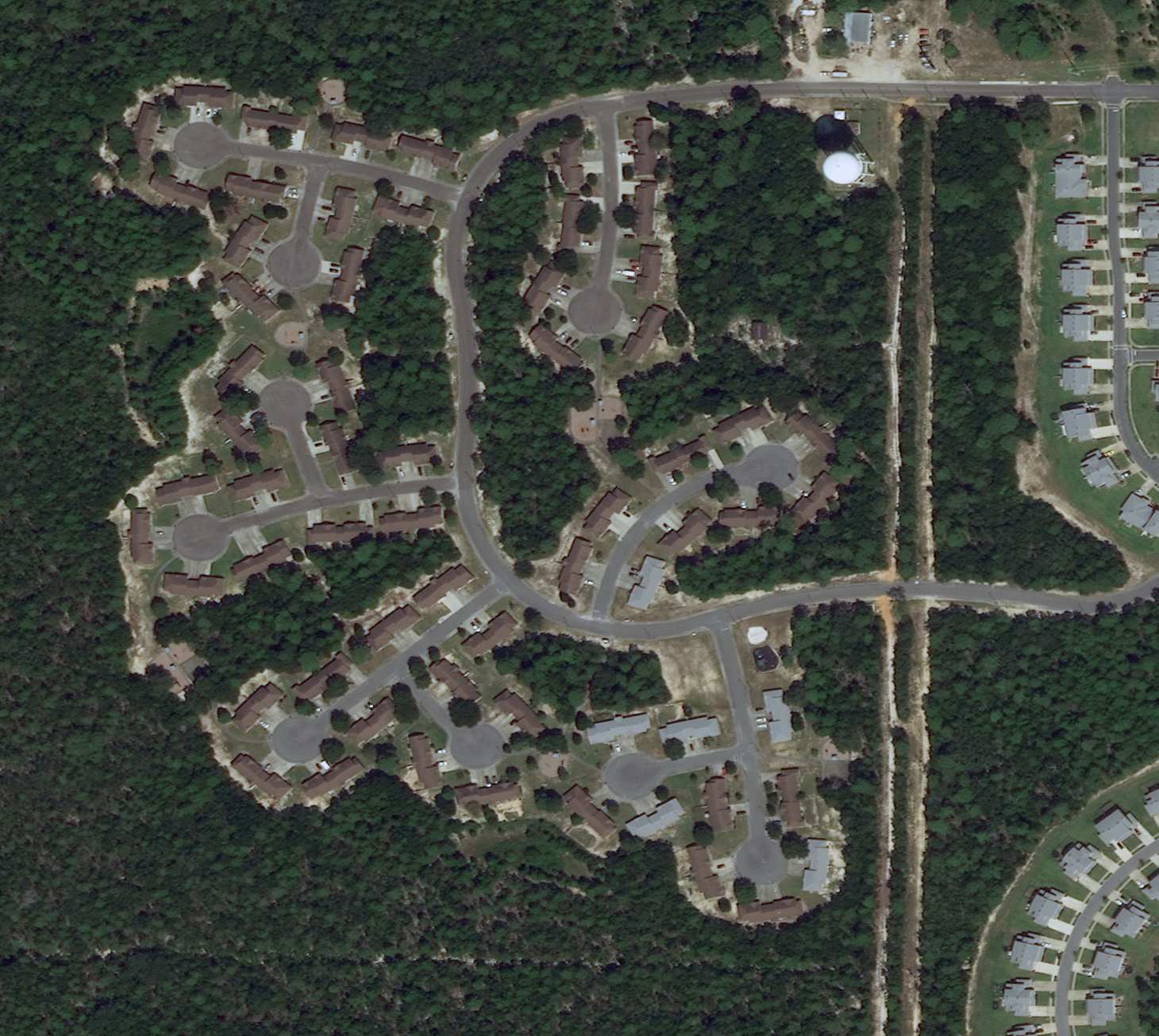
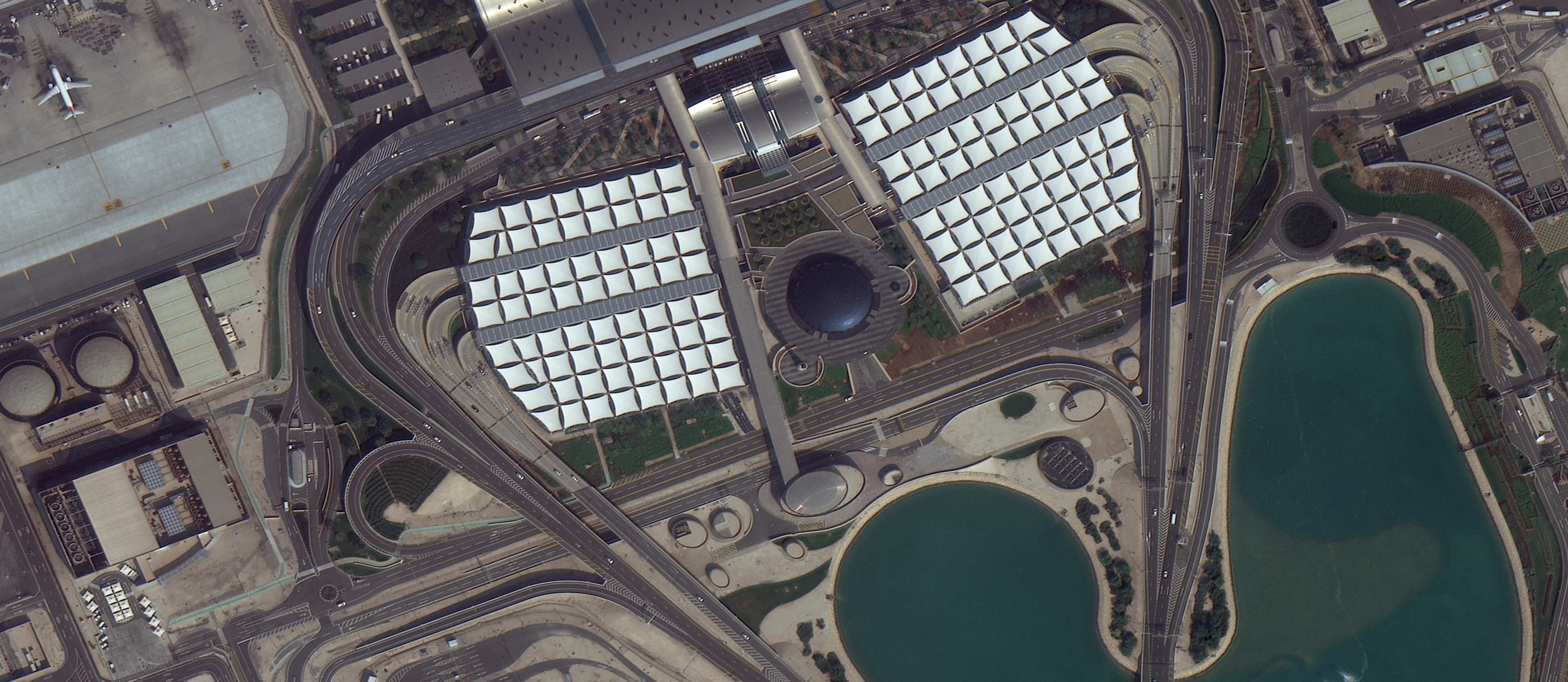
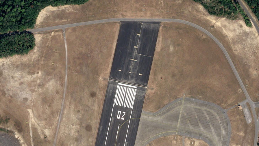
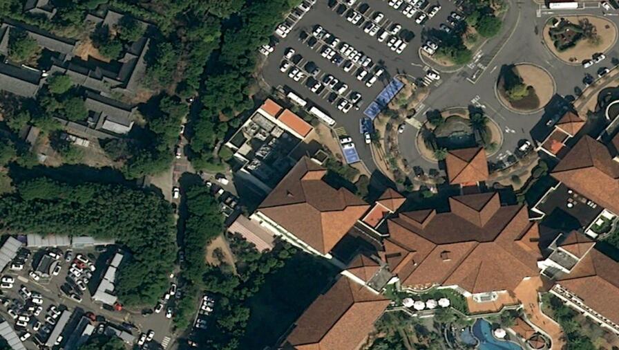
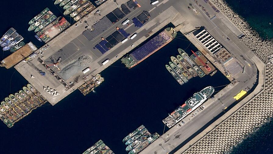
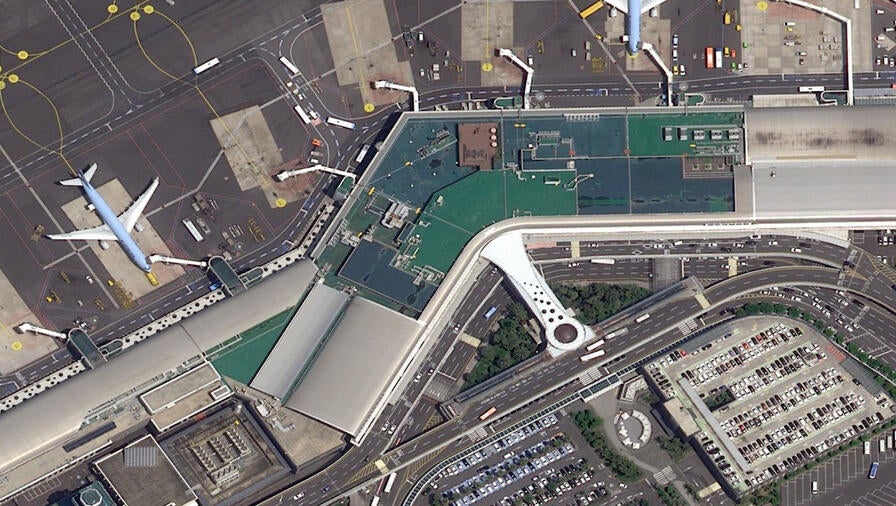
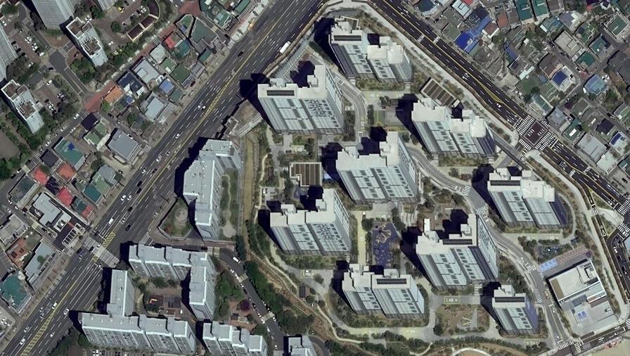
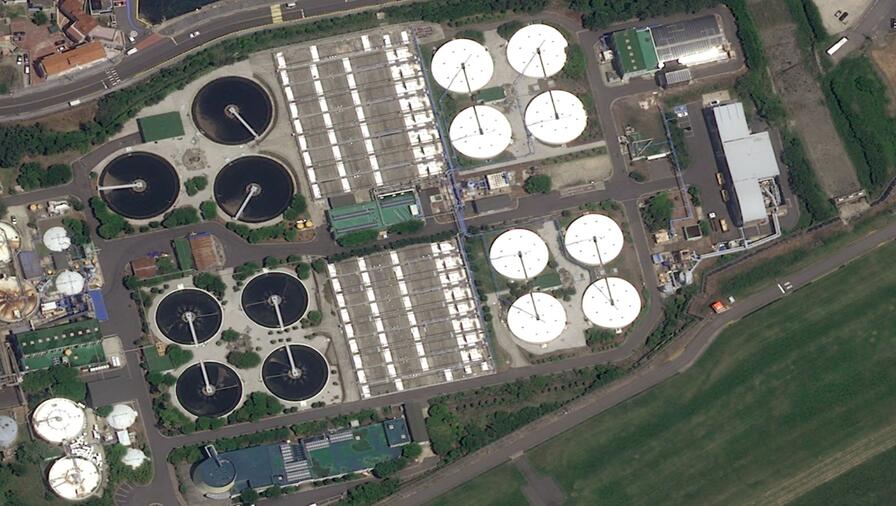
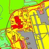
Gain a unique, highly detailed understanding of nearly any place on Earth with our broad selection of high-resolution satellite imagery. Want to enhance your training program with precise, ready-to-use imagery? Need to assess coastal erosion after hurricane season? Government and commercial customers have trusted our comprehensive imagery solutions for decades to help them identify trends, transform site data into action, and accelerate project success. L3Harris also boasts a massive archive of high-resolution satellite imagery from industry leaders such as Maxar, Airbus, and Satrec Imaging that extends to the early 2000s, providing you with a single partner for your most complex geospatial needs.
| “L3Harris has enabled Mott MacDonald to test a new innovative geospatial solution that involves complex machine learning to solve a range of infrastructure asset management problems. This solution will aim to extract remotely sensed information from state-of-the-art 8 band WorldView-2 imagery. This test study would not be viable without the help of L3Harris. — Miles Aubrey, Mott MacDonald” |