The large archive of lower resolution satellite imagery offer complete world coverage at a low cost per square kilometer, making it an excellent choice for those needing a simple base map. Access to a robust archive of low-resolution satellite imagery to quickly analyze large geographic areas such as forests, bodies of water, and even entire countries. While this imagery is too coarse to distinguish fine details, it's ideal for detecting large-scale global anomalies like wildfire damage and glacial melting. Do you need to monitor regional development trends? Or create a simple base map? We can help. Leveraging our low-resolution satellite imagery is your first step toward project success.

Sensors and Satellites
BrightEarth 10 meter Imagery
Using AI-enhanced processes, BrightEarth uses various real-time image sources to create 3D maps with unmatched speed. This product suite offers a 97-percent cloud-free view of the planet, can extract buildings and trees from imagery, features a 23-class LULC, and incorporates time-of-day population maps derived from Sentinel-2's 10-meter imagery. Paired with high-resolution data, BrightEarth provides an unparalleled view of Earth in bright, natural colors. If you have a project site, BrightEarth can illuminate it.
Resolution: 10 meter
Band: Natural color
Projection: Geographic and UTM
Datum: WGS 84
Format: 8-bit, GeoTIFF, JPEG2000, ECW
Dates: Current year with possible older imagery for cloud removal
Samples available upon request
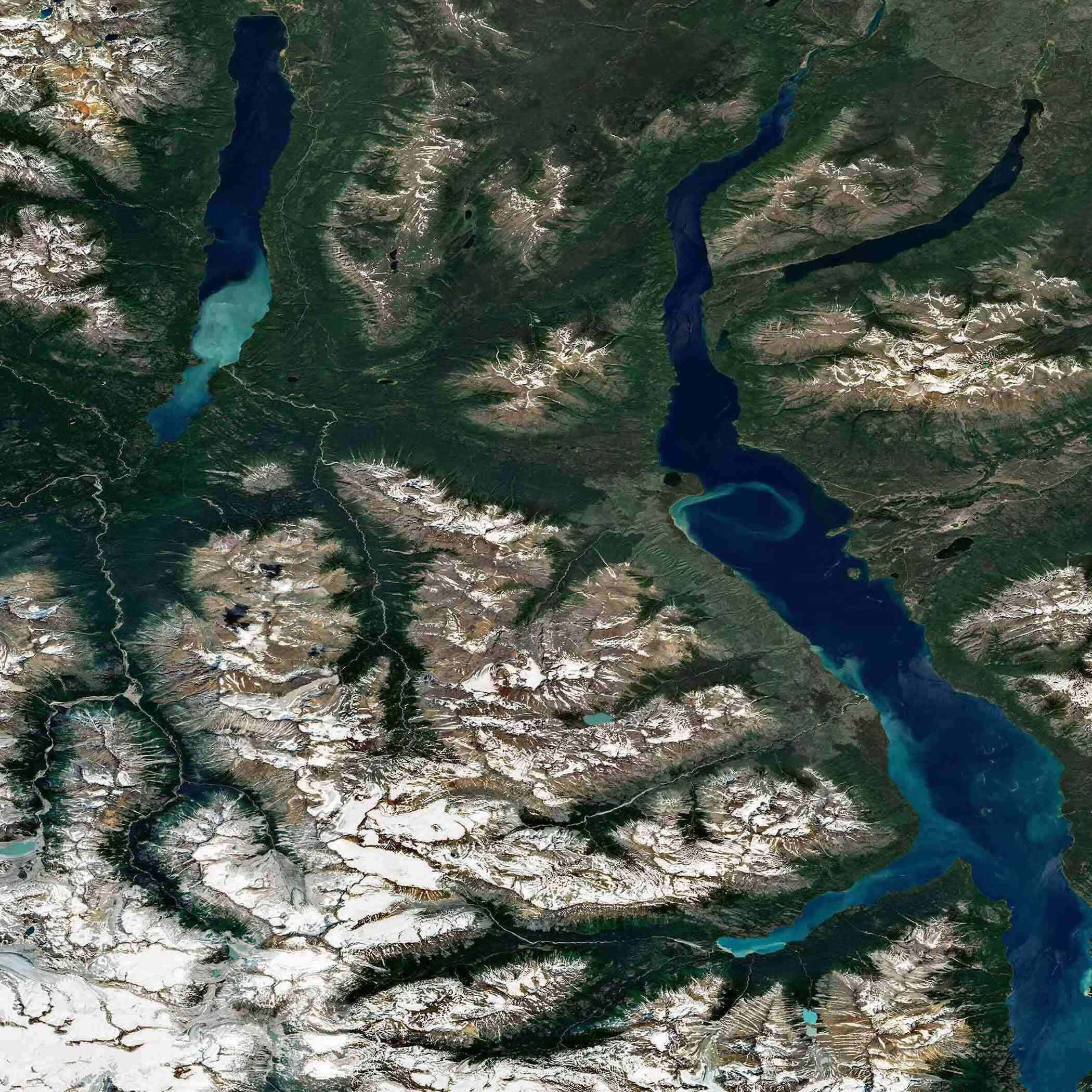
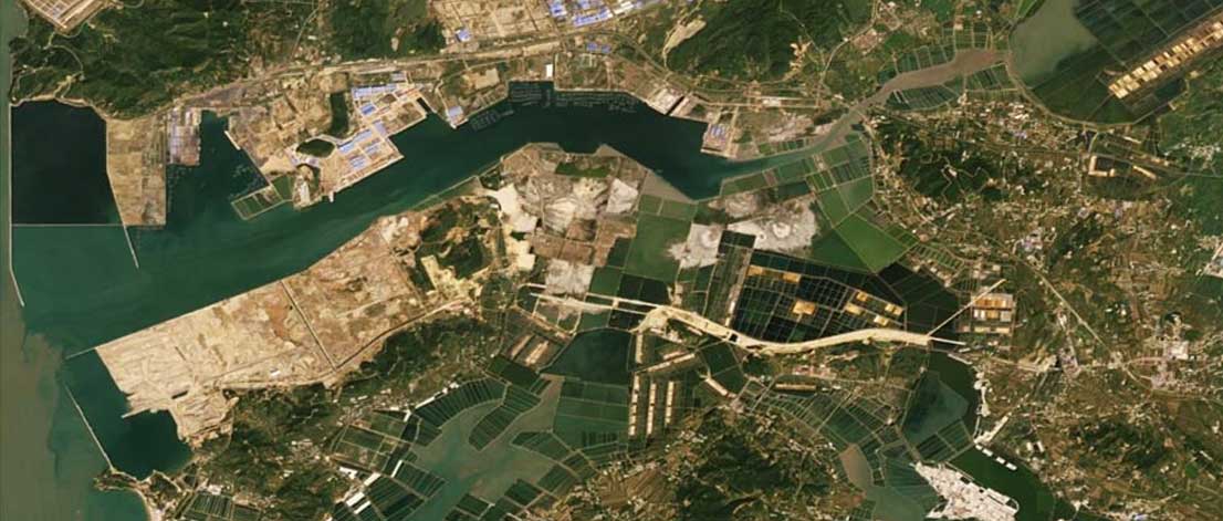
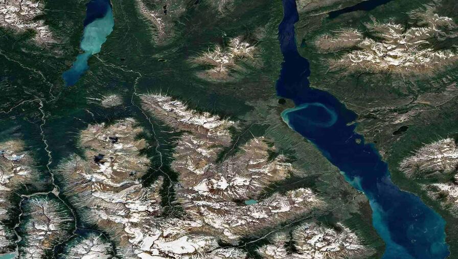
- Chilko Lake, British Colombia, Canada
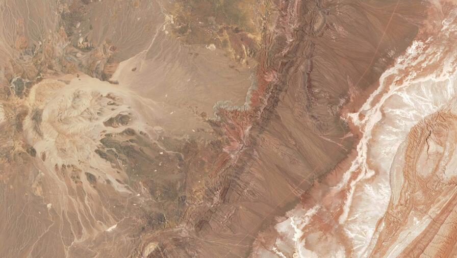
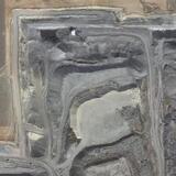
- Lithium mining in the Atacama salt flats
Lake Taupo, central North Island, New Zealand
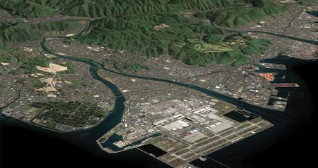
PlanetSAT 10 meter
PlanetSAT is a seamless, ready-to-use global imagery basemap at 10-meter resolution, offering exceptional visual quality and geographic accuracy. Updated annually, it features consistent color balancing, natural tones, and enhanced clarity, ensuring a uniform and realistic view of the Earth at a global scale. Unlike fully automated mosaics that often contain visual artefacts or inconsistencies, PlanetSAT combines automated and manual processing to provide a refined, cloud-free mosaic with unmatched visual coherence. PlanetSAT is available off-the-shelf in four standard data formats, with flexible tiling options: 2x2 degree tiles for regional and global coverages, and smaller tiles for localized areas of interest. With its true-to-life imagery, PlanetSAT is the ideal solution for professionals in defense, mapping, GIS, and 3D visualization.
Resolution: 10 meter
Band: Natural color
Projection: Geographic
Datum: WGS 84
Format: GeoTIFF, COG, JPEG2000, ECW
Tiling structure: 2x2 degree tiles, and crops of any area of interest
Delivery mode: FTP
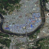
TerraColor NextGen 15 meter Imagery
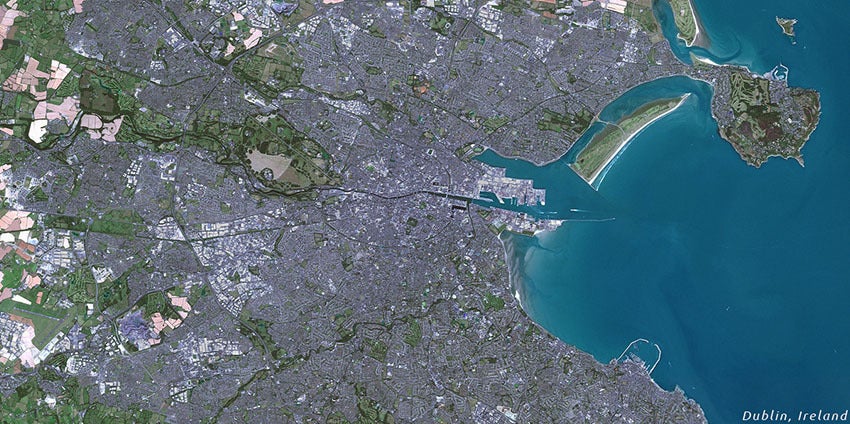
Users can quickly identify land use, urbanized areas, freeways, agricultural areas, rivers, coral reefs, and more with TerraColor's NextGen, a seamless, true-color satellite imagery map with a spatial resolution of 15 meters per pixel.
NextGen products are mosaics of multiple pan-sharpened scenes taken by Landsat-8. They are rendered in 100-percent true color, offer clear, haze-free views of the Earth, are ready to use, and are carefully processed and balanced to provide superior contrast.
Recent imagery is essential for many applications, and NextGen provides an up-to-date medium-resolution base map of several areas. NextGen also perfectly complements high-resolution imagery by providing a consistent, regional view of larger areas. Organizations can purchase TerraColor NextGen products in three formats: 1x1 degree tiles, individual countries, or regional bundles. Users who purchase imagery by country receive a complete review of their area of interest, with the images clipped to borders and a buffer extending into neighboring lands.
Resolution: 15 m
Band: Natural color
Projection: UTM or Geographic
Datum: WGS 84
Format: GeoTIFF, JPEG
Dates: 2015 — present
Samples available upon request
- Algeria 15m — 96.02 MB
- Qatar 15m — 87.98 MB
- Thailand 15m — 8.59 MB
Balgaum Airport, India 15m — 53.38 MB
The Leading Provider of Low Resolution Satellite Imagery

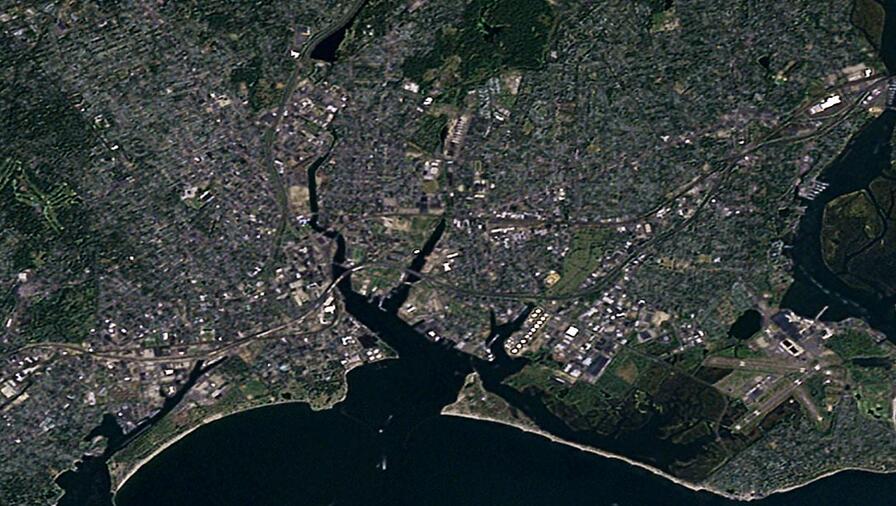
10 meter imagery
...
10 meter imagery
...
10 meter imagery
...
15 meter imagery
...
15 meter imagery
...
15 meter imagery
...

Related Capabilities


Related News

Press release | 07. 13. 2026
US Space Force Selects L3Harris to Provide Advanced Tracking Satellites for America’s Missile Defense
L3Harris Technologies has received a contract from the U.S. Space Force’s Space Development Agency (SDA) to produce 18 Accelerated Missile Defense Tranche 3 (AMDT3) satellites to support the Golden Dome for America’s space-based capabilities.

Related Domains & Industries
Solutions that solve our customers' toughest challenges.
view all capabilities