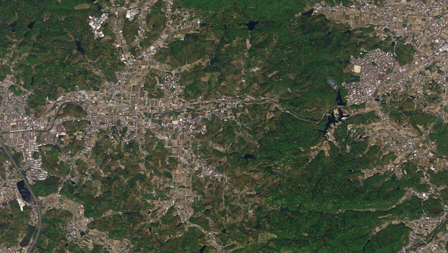
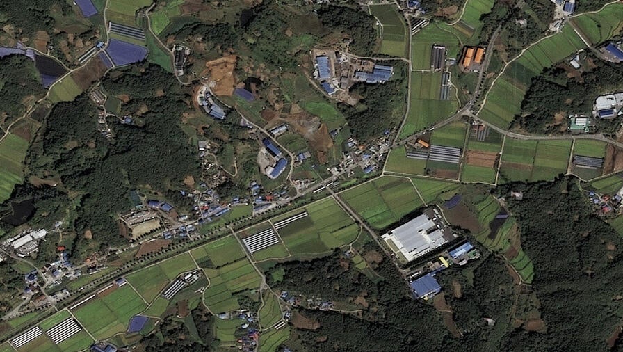
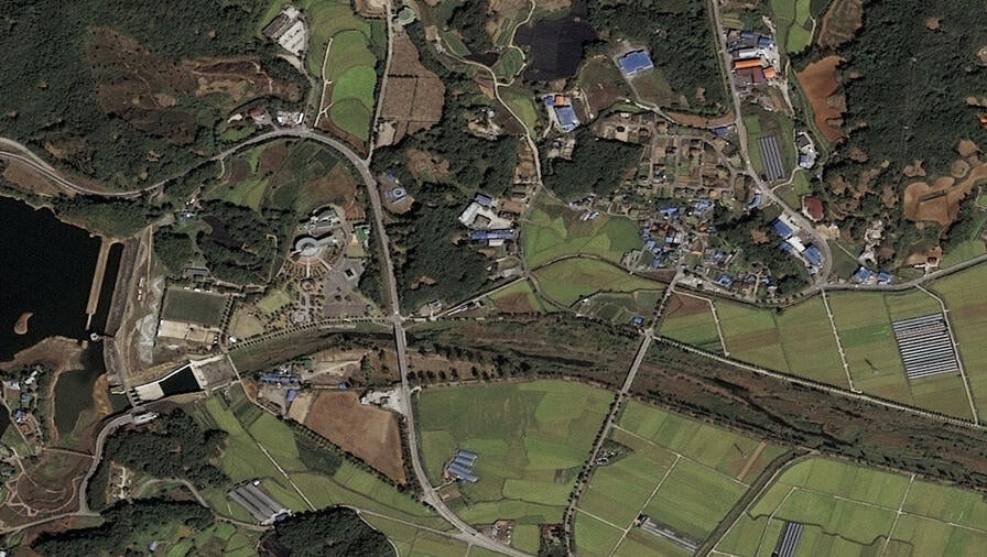
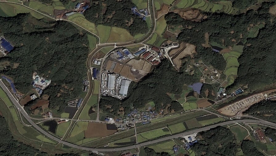
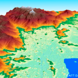
The Leading Provider of Medium-Resolution Satellite Imagery
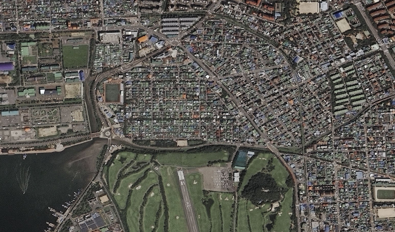
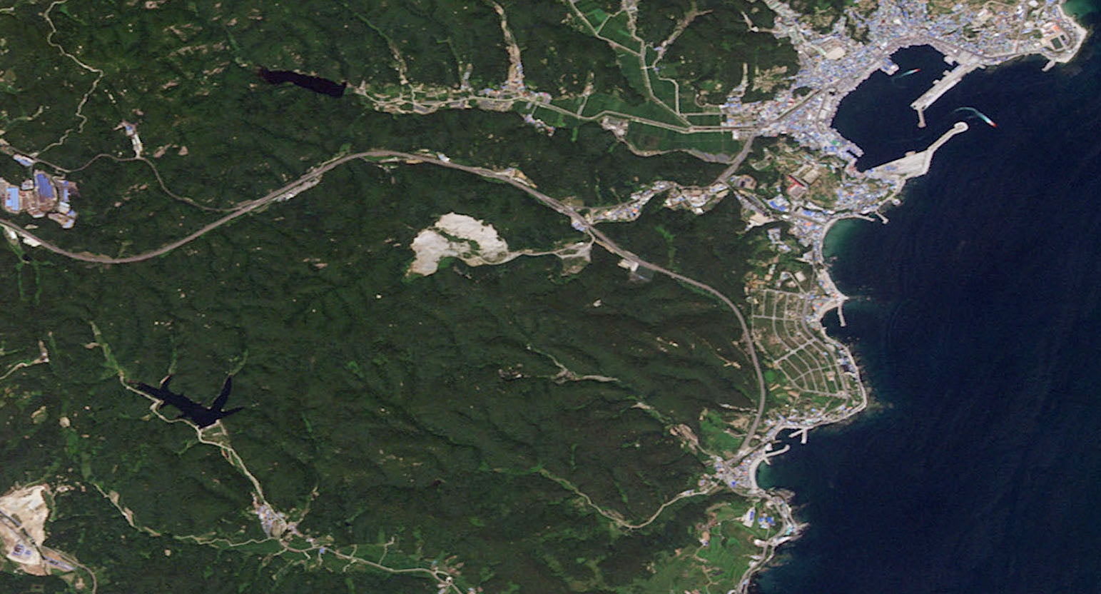
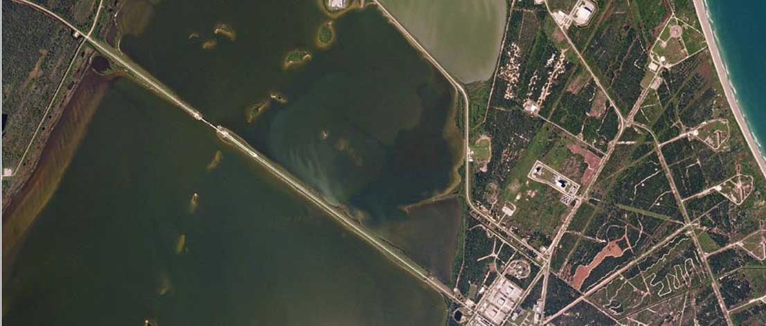
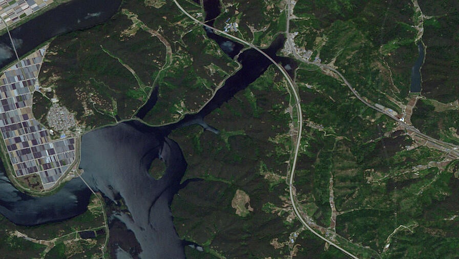
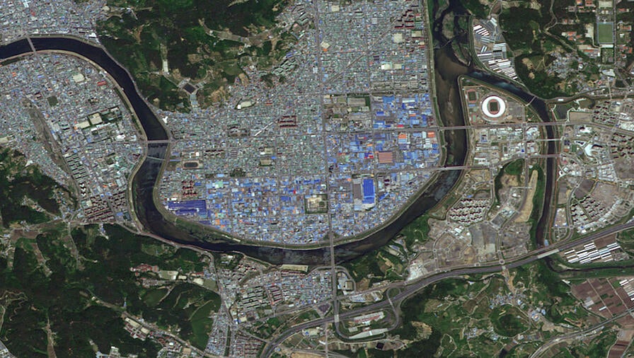
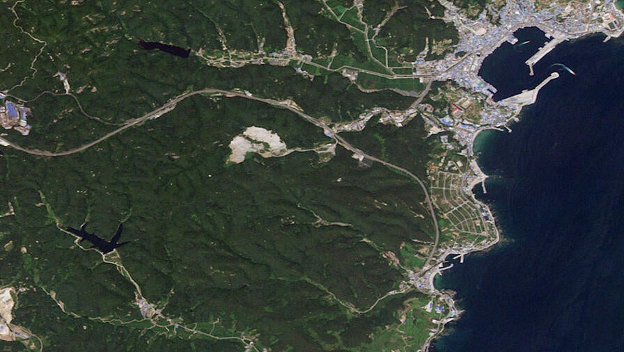
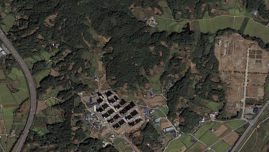
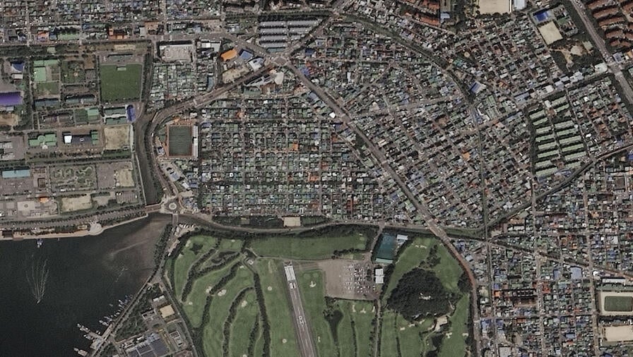
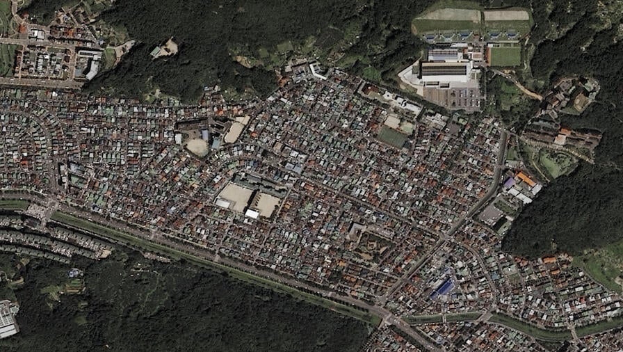
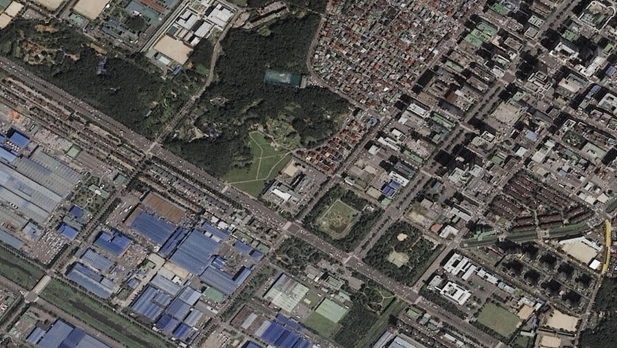
Clients in agriculture, forestry, watershed management, and other sectors can visualize expansive project sites susceptible to change with an extensive array of medium-resolution satellite imagery options from Planet, Airbus, and a host of other elite providers.
Do you need recent data on your large project site? Or historical data for an environmental analysis? This product suite offers both. Our providers have multiple sensors in each satellite constellation, allowing each satellite to capture large areas within single images that come in resolutions ranging from 1.5 to 5 meters. Users can view their area of interest from any timeframe and level of detail.
L3Harris also boasts a massive archive with full-world coverage that dates back to the early 2000s — making us a one-stop shop for all your satellite imagery needs.