But like all rapidly evolving technologies, satellite imagery comes with a lot of common misconceptions about how it can be obtained and used. In a recent blog post, we dispelled the top five myths. Now, back by popular demand, here are five more.
Satellite images can help you locate gold and other metals.
Bad news for aspiring pirates: Satellite imagery can’t help you find gold, either as raw ore or buried treasure. Near-infrared bands on commercial satellite imagery can penetrate a few meters into bare sand to detect stone — which is ideal for archaeological endeavors (and Indiana Jones). But they cannot penetrate or detect anything else at greater depths.
Satellite imagery from the sensor is useable as-is
Not unlike wedding photos, most images collected from satellites need some refinement to be useable. Imagery data collected as-is from a sensor can be dark, flat and unusable. Though images as raw pixels are used in some scenarios, they generally need blending and correcting to be properly analyzed.
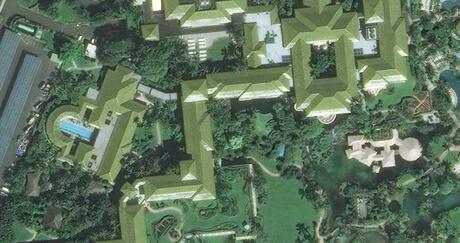
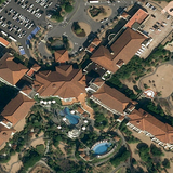
2D images accurately reflect our 3D world
They say the camera adds 10 pounds … but did you ever wonder why? A 2D image from a camera – whether it’s from your phone or from a satellite in space – distorts and stretches whatever it captures. To get a more accurate view of uneven terrain, L3Harris satellite imagery experts use a process called orthorectification, which ties 2D imagery to the best 3D reference data available. This makes the imagery measurements and appearance more accurate.
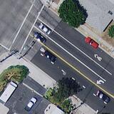
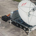
Satellites can capture oblique imagery for a fuller picture
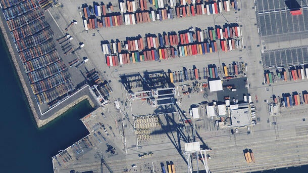
Oblique imagery captures objects at an angle of 45 degrees or greater so the sides can be seen. This is useful for viewing the relative height of a feature or sometimes reading large signs or IDs on the sides of buildings, vessels or train cars. Counting large, stacked objects is often easier with oblique imagery as well.
Satellites orbit several hundred kilometers above Earth and are not well suited for collecting oblique imagery. They’re too far away, and too much can get in the way of an accurate image capture. Aerial and drone sources are more often used to collect this type of data.
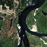
Satellite imagery can help find missing persons
Satellite imagery can sometimes help locate a person in a remote area who’s using a brightly colored tent, kayak, sleeping bag or even a coat. But most of the time, pixel resolution on even the most detailed satellite imagery cannot discern an individual person easily. In missing person cases, on-site drones are often a better solution.
Talk with our team today about how we can offer commercial satellite imagery for your projects. Please don’t hesitate to contact us at geospatialdata@l3harris.com.