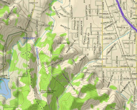
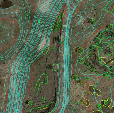
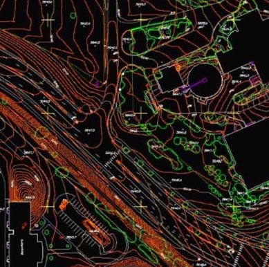
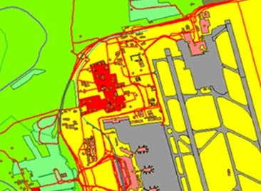
The Leading Provider of Digital Vector Maps
Need digital vector maps? Collaborate with L3Harris to find the best vector data for your project. Our diverse offerings include:
- USGS land cover data
- Garmin digital vector maps
- AW3D datasets
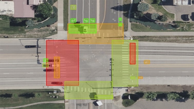
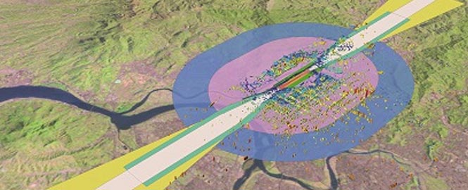
- Global linear and point features
- Energy datasets
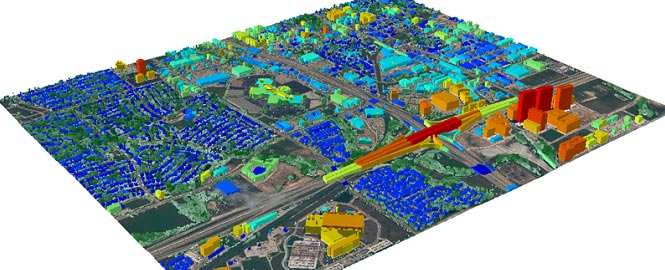
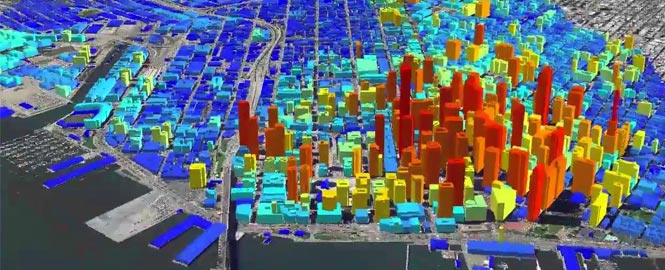
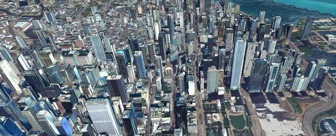
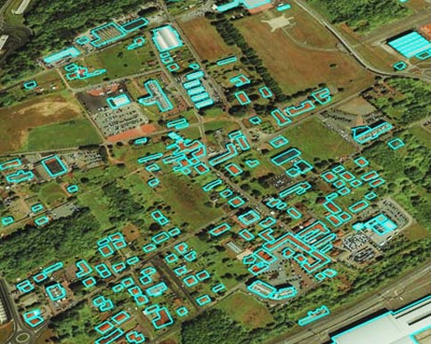
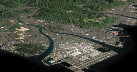
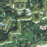
- Detailed international city mapping
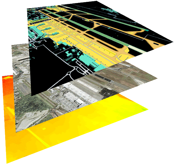
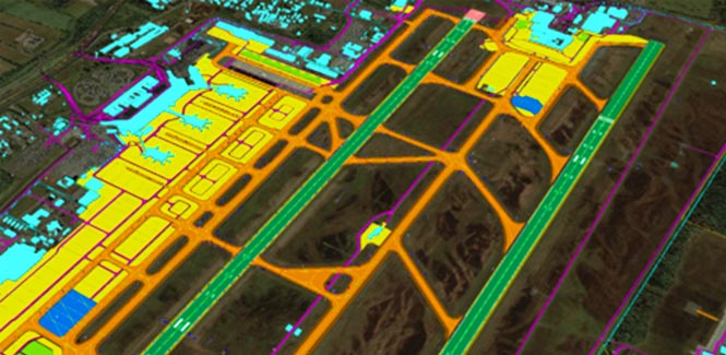
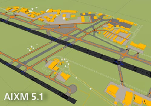
- Aerodrome Mapping Databases (AMDB)
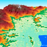
Land Use Land Coverage (LULC) classifications
These digital vector maps are flexible, scalable, and customizable — allowing for smooth zooming, easy styling adjustments, and interactivity.
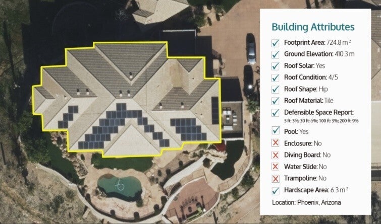
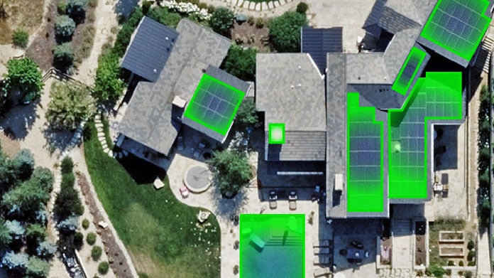
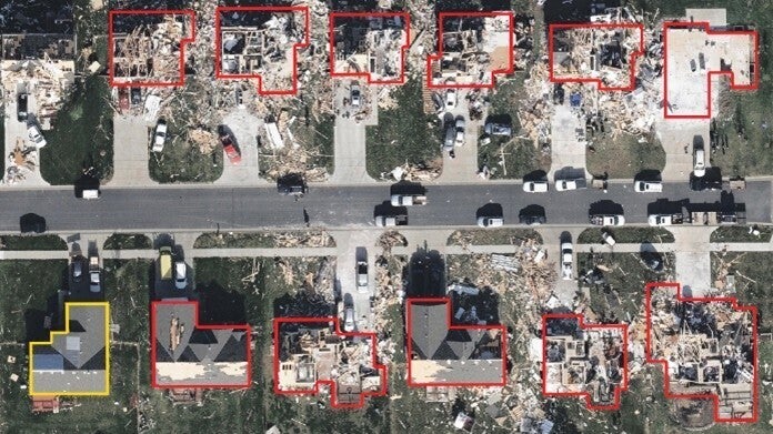
Your project is unique, and so are your needs. L3Harris is a one-stop shop for vector data solutions redefining what's possible in applications ranging from urban planning and environmental analysis to location-based services and GPS systems. As an unbiased broker, we deliver customized data products uniquely suited to your goals.