
MISSION & PLATFORMS
An Ideal Surveillance Solution for: ISR – Medium-Altitude Covert Intelligence, Surveillance & Reconnaissance, SAR missions
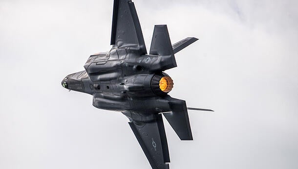
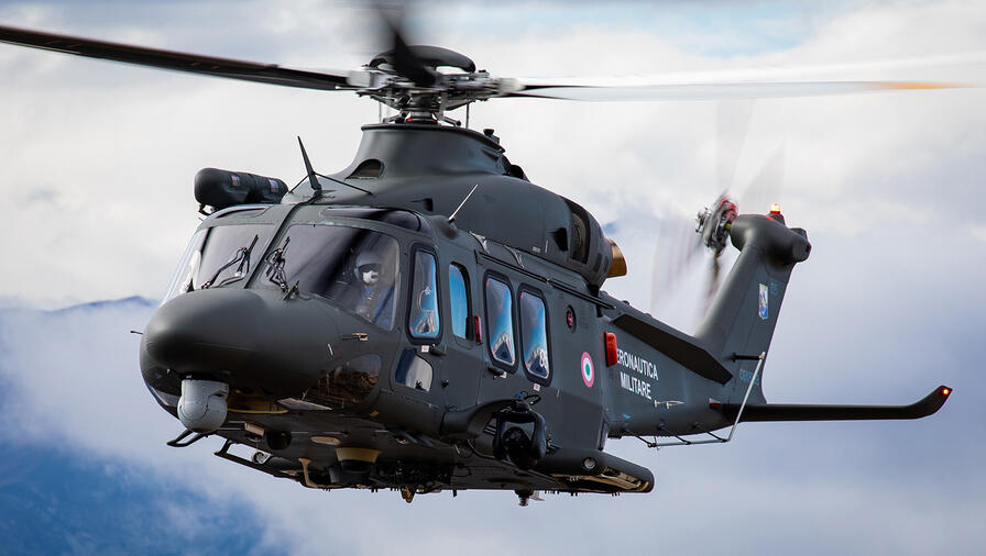
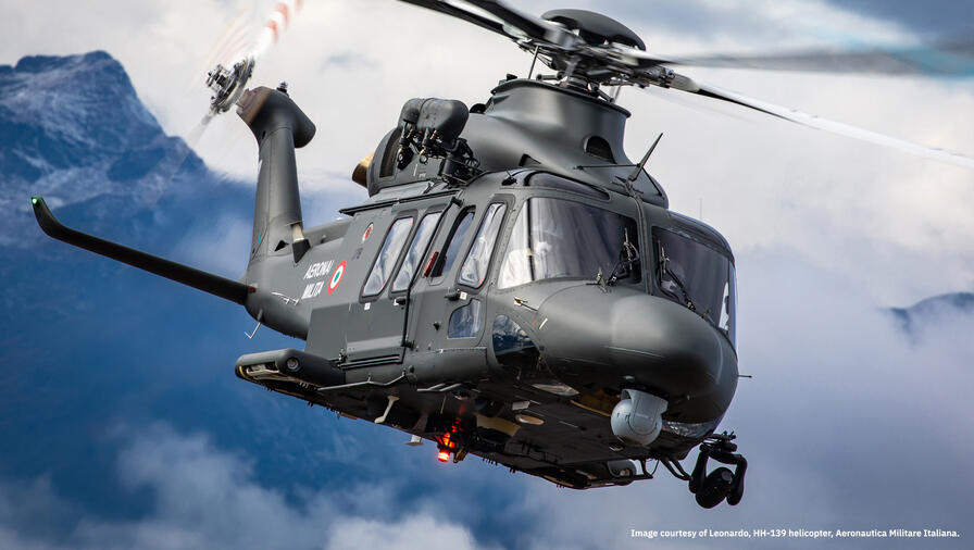
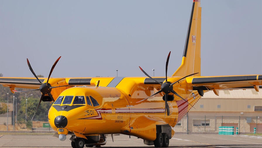
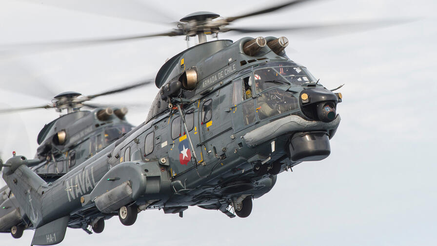
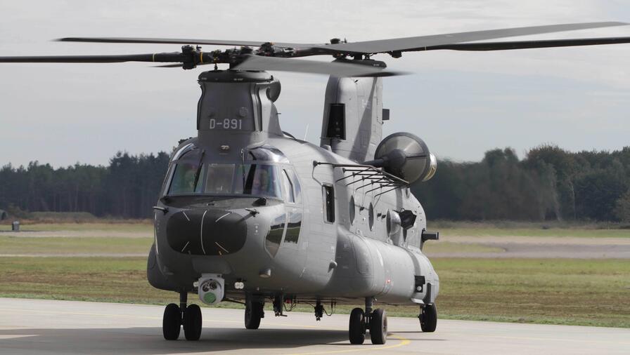
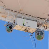
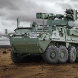
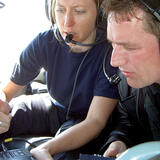
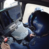
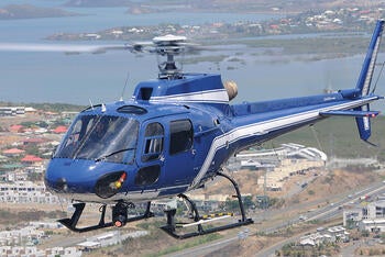
Airborne Installations: Fixed-wing, Rotary-wing, UAV, Aerostat
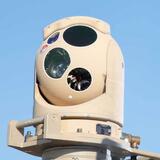
Features & Benefits
- Currently supports up to 6 sensors simultaneously
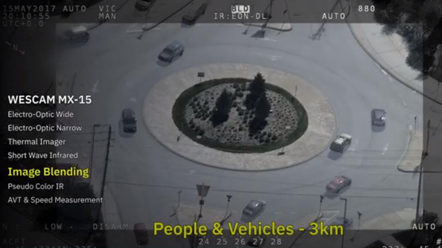
- Superior HD imaging resolution from Electro-Optical (EO) and Infrared (IR) cameras
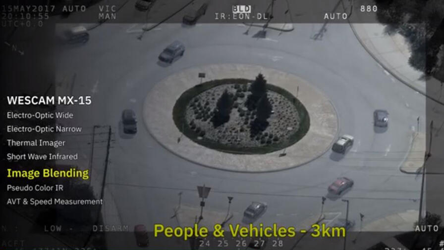
- Pseudo-Color IR
- HD SWIR
- High sensitivity color spotter
- HD low-light step-zoom spotter
- Advanced Video Tracker (AVT)
- Embedded MTI
- Blends EO and IR imagery
- Spectrally-rich image yields detail that would be invisible in individual senor images
- Real-time image enhancement for EO day, EO night & IR
- Greatly enhances image detail and scene contract
- Increases dynamic range, reduces noise, performs electronic zoom
- IMU & MX-GEO work to create accurate target location
- MX-GEO automatically aligns to the aircraft
- Robust automatic image focus
- 4-axis gimbal with internal IMU
- All payloads are fully-stabilized
- Common operator interfaces and Hand Controller Units (HCUs)
- Simplified interchangeability
- Efficiencies in product support and technology enhancements
- Ease and familiarity of use
- No external electronics unit, direct support of peripherals reduces aircraft wiring
About WESCAM MX-Series Airborne Surveillance and Reconnaissance Solutions
L3Harris has an airborne portfolio of multi-sensor, multi-spectral systems that are deployed worldwide, at varying ranges, and with overlapping fields-of-view, creating the opportunity for uninterrupted surveillance of borders, forward operating bases, airfields and other vital assets. These imaging and targeting systems can be found on over 260 different types of platforms, including fixed-wing, rotor-wing, UAV and aerostat platforms.
Within our product portfolio is a series of systems that encourage ease and familiarity of use, simplified turret interchangeability within fleets, efficiencies in technology enhancements and overall system support. Featuring common electronics and cabling, common user interfaces and video overlays, and common software and internal components, this family is known as the WESCAM MX-Series.
Because today’s mission requirements demand identification and designation from longer standoff ranges, WESCAM MX-Series products have been engineered to focus on the three factors that drive Maximum Range: resolution, magnification and stabilization. As a result, each WESCAM MX-Series turret has outperformed its major competitor in every performance area, giving the Series the longest EO/IR target identification and designating ranges in the industry (in each class size).

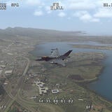
WESCAM MX-15 Image and Video Gallery


WESCAM MX-Series Systems


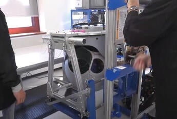
WESCAM Mx-Series Training and Simulation


Mission Systems
Providing a broad range of multi-domain intelligence, surveillance and reconnaissance mission solutions in support of key decision makers across air, land and maritime domains.

Related News
Editorial | 07. 15. 2026
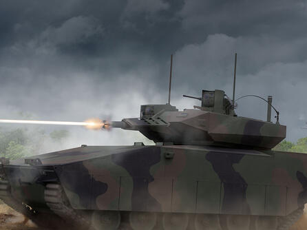
Executing the National Defense Strategy: How the Army, Team Lynx and XM30 Get It Right
Team Lynx's XM30 delivers what the National Defense Strategy demands: non-traditional innovation, proven industrial capability and domestic production at scale, writes Larry Q. Burris Jr. in Defense News.


Contact the WESCAM MX-Series Team

Related Domains & Industries
Solutions that solve our customers' toughest challenges.
view all capabilities