Civil Space

Weather Satellite Technology
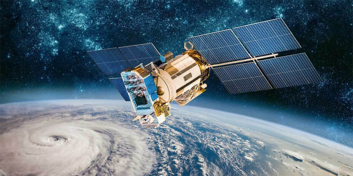
Inclement weather satellite


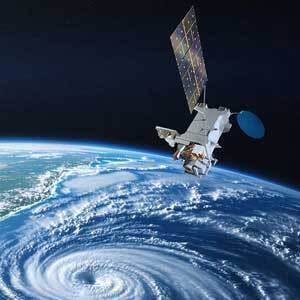
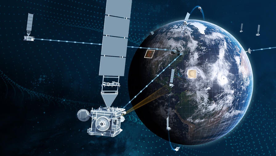
For over 50 years, L3Harris has been at the forefront of advancing weather satellite capabilities to improve the accuracy of weather forecasts, measure climate change and increase life-saving warning times.

Universe Exploration

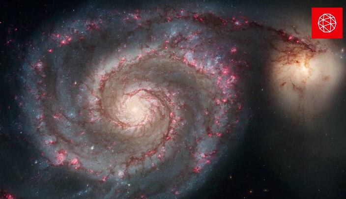
As a valued mission partner on enduring space missions, L3Harris enables the entire mission value chain, from planning and design to integration and execution. We also provide innovative solutions for missions on the horizon.

Telescope alignment evaluation image. Credit: NASA/STScI

James Webb Space Telescope

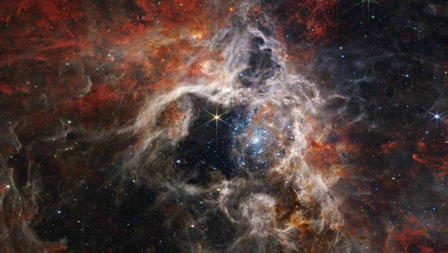
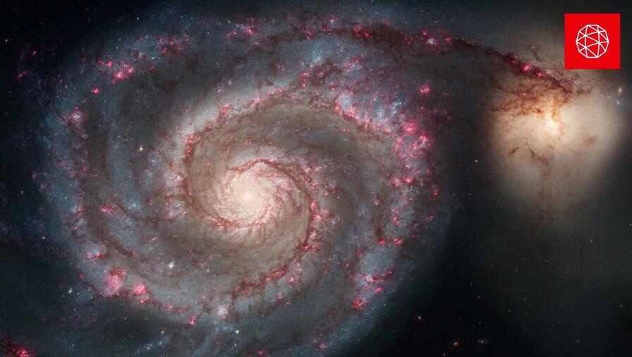
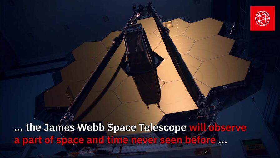
The James Webb Space Telescope, commonly referred to as "Webb," is the world's largest, most powerful telescope. It provides unprecedented images of the universe's first stars and galaxies. L3Harris’ engineers and technicians played a key role in assembling, integrating and testing NASA's ultra-powerful Webb telescope – which enables scientists to observe a part of space and time never seen before.

Nancy Grace Roman Space Telescope Video

Nancy Grace Roman Space Telescope

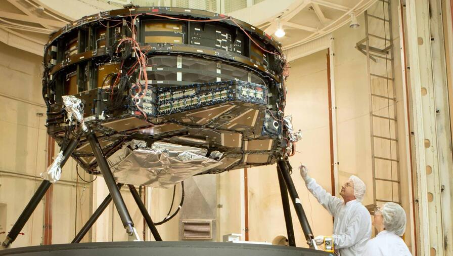
L3Harris is responsible for some of the most important tasks to create the telescope, including assembling the primary mirror. L3Harris created hardware to accommodate and interact with the two main scientific instruments on the telescope: the Wide Field Instrument and the Coronagraph.

LISA telescope

Laser Interferometer Space Antenna (LISA)

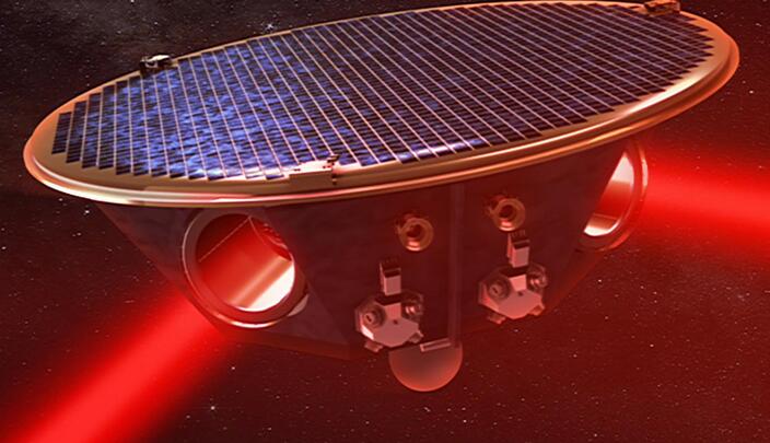
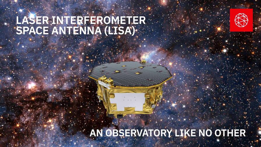
Scheduled to launch in the 2030s, LISA is comprised of a constellation of three spacecraft in an equilateral triangular formation, 2.5 million kilometers apart, in the same orbit as the Earth around the sun but trailing the Earth by 20 degrees in orbital phase. LISA detects gravitational waves by measuring the displacements between pairs of satellites with laser beams sent through optical telescopes on each satellite. 

Resources

  • Cross-track Infrared Sounder (CrIS) Sell Sheet thumbnail image

    Cross-track Infrared Sounder (CrIS) Sell Sheet

  • Near Earth Orbit Network (NEON) Infrared (IR) Sounder Data Sheet

    Near Earth Orbit Network (NEON) Infrared (IR) Sounder Data Sheet

  • L3Harris Geo IR Sounder Sell Sheet Thumbnail

    Geostationary (GEO) Infrared (IR) Sounder Sell Sheet

  • GOES-R Series

    GOES-R Series Sell Sheet

  • Innovative Ground Systems for Weather Missions Data Sheet

    Innovative Ground Systems for Weather Missions Data Sheet

  • Advanced Baseline Imager

    Advanced Baseline Imager Sell Sheet

  • Geostationary Extended Observations (GEOXO) Imager (GXI) Data Sheet

    Geostationary Extended Observations (GEOXO) Imager (GXI) Data Sheet

This is a unique pairing of technologies that significantly enhances operator effectiveness and overall mission success. This collaboration was a significant undertaking and results in an embeddable modem that can operate between the mGS and WGS constellations, making it the only SATCOM solution of its kind in the marketplace.
- Chris Aebli, President, Mission Critical Communications

All Civil Space Capabilities

City vector map

3D Models: 3D City Models

Available as high-fidelity, photo-realistic, textured 3D urban models or as 3D polygon files, our building models are the industry standard, providing both high levels of detail and accuracy.
Industry Leader in 3D Printing, and Material and Design Solutions

Additive Manufacturing

Industry Leader in 3-D Printing, and Material and Design Solutions
sas-geospatial-mining

Advance Tasking: Geospatial Data Solutions

Scheduling advanced data tasking can mean the difference between your project’s success and failure. Our geospatial data solutions help you extract site data in advance to ensure you have it when the need arises.
Advanced Baseline Imager Solutions

Advanced Baseline Imager Solutions

L3Harris’ Advanced Baseline Imager (ABI) instruments are the most sophisticated meteorological imaging instruments ever built for operational weather forecasting.
See the difference in quality between 6” (left) and 1’ imagery (right). Hexagon imagery from 2016 in LA County, CA.

Aerial Imagery: Aerial Imaging Solutions

Our aerial photography, topographic maps, surveys, and historical data drive success in applications as diverse as mining, construction, insurance, real estate, agriculture, urban planning, and small business.
sas-geospatial-amdb

Aerodrome Mapping Database: AMDB

L3Harris’ AMDB are accurate GIS datasets that enhance surface navigation in airport-related activities. They comply with industry standards and comprise correlated imagery, elevation, and vector data that describe an aerodrome’s spatial layout.
4 RS-25 Engines

Artemis II

As four astronauts ventured around the moon on Artemis II, L3Harris Technologies provided more than 100 elements that made this historic 10-day journey possible.
Commercial Imaging Payloads

Commercial Imaging Payloads

L3Harris provides the highest resolution imaging capability commercially available.
Cross-track Infrared Sounder (CrIS)

Cross-track Infrared Sounder (CrIS)

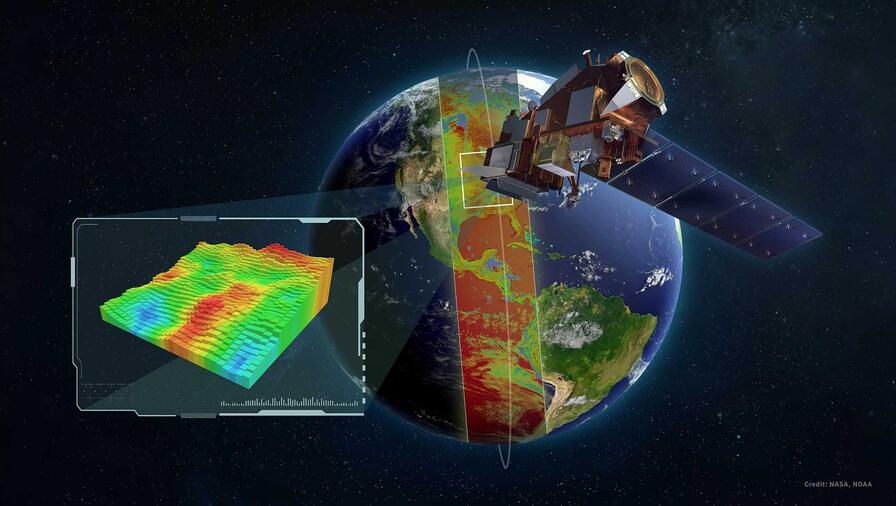
L3Harris’ CrIS instrument observes more than 2,000 infrared channels to provide comprehensive information about temperature and moisture from around the globe, improving both the quality and quantity of data collection.
Elevation Data

Elevation Data: Digital Elevation Models

Quickly access the best elevation data for your project with L3Harris’s expertise. We offer a wide selection of multi-resolution elevation data sets from 50 cm to 90 m from leading geospatial data providers covering the globe.
SAS SS Geospatial Analytics Doha 3D thumbnail

Geospatial Analytics

Geospatial analytics and Change Detection stand at the forefront of innovation, transforming aerial imagery maps and satellite imagery into actionable insights.
Geospatial Data & Imagery Header

Geospatial Data & Imagery

Leverage our domain expertise to get the best geospatial data for your project.
Concept of the L3Harris next-generation imager for NOAA’s GeoXO satellite system capturing real-time detail of severe storms across the Western Hemisphere. Thumbnail image.

Geostationary Extended Observations (GeoXO)

L3Harris’ next generation of advanced sensors and imaging technology – orbiting on geostationary (GEO) satellites – is answering the call to prepare people for and protect them from severe weather.
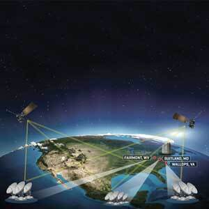
Geostationary Operational Environmental Satellites – R Series Ground Segment and Antenna Segment

GOES-R Series Ground Segment and Antenna Segment

The National Oceanic and Atmospheric Administration’s (NOAA’s) GOES-R Series is essential to creating a more weather resilient nation
GPS Operational Control System

GPS Operational Control System

L3Harris develops navigation processing components, precision monitor station receivers, and key components of the system security design for the GPS Operational Control System.
High-resolution Infrared Radiation Sounder

High-resolution Infrared Radiation Sounder

L3Harris’ high-resolution infrared radiation sounder (HIRS) instrument has been internationally recognized as the operational sounder for global weather data since 1978.
sas-geospatial-high-resolution-imagery

High-Resolution Satellite Imagery

With resolutions ranging from 0.3 meters to 1 meter, our high-resolution satellite imagery redefines what’s possible in simulation, engineering, infrastructure, telecommunications, precision agriculture, and disaster recovery.
HyperCube™ Infrared Sounding and 3D Wind Measurement

HyperCube™ Infrared Sounding and 3D Wind Measurement

With HyperCube, L3Harris has miniaturized its proven hyperspectral sensor technology to meet future requirements for sounding and 3D wind data.
Intellimatics geospatial solution

Intellimatics

L3Harris Intellimatics is an advanced, unified capability that uses one or many intelligence sources. It provides fully automatic intelligence from sensors based in space and on aircraft in near-real-time.
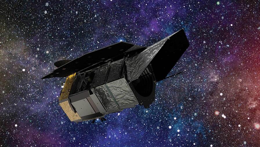
Rendering of James Webb Space Telescope over space nebula background

James Webb Space Telescope

L3Harris engineers helped build NASA's ultra-powerful James Webb Space Telescope, which provides unprecedented images of the universe's first stars and galaxies.
Joint Polar Satellite System Capabilities

Joint Polar Satellite System (JPSS)

We provide the mission-critical weather observation instrument, the integral communications between the spacecraft and ground stations, as well as continuous direct broadcast downlink for NOAA's Joint Polar Satellite System (JPSS) satellites.
Laser Interferometer Space Antenna (LISA)

Laser Interferometer Space Antenna (LISA)

LISA detects gravitational waves by measuring the displacements between pairs of satellites with laser beams sent through optical telescopes on each satellite.
Geospatial Data and Imagery

Mapping: Geospatial Mapping

Visualize the world around you with the best geospatial mapping tools. Our robust product suite includes 2D images, 3D terrain, building models, intricate airport datasets, roadway networks, classification maps, and other visualization products.
Real-time Onboard Processing

Material Identification

L3Harris material identification technology enables remote sensing systems to detect, identify and geolocate the presence of solid materials and gasses – on Earth and in the atmosphere.
sas-geospatial-med-res-re2

Medium-Resolution Satellite Imagery for Comprehensive Coverage

Use Medium-resolution satellite imagery resolutions ranging from 1.5 to 5 meters to understand large area changes with quality imagery from the top provider. Learn more today.
WFIRST

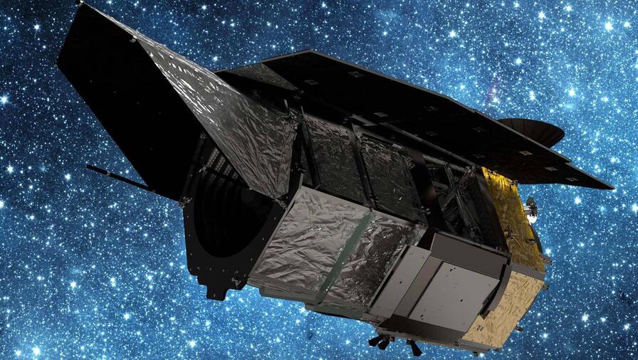
Nancy Grace Roman Space Telescope

The Nancy Grace Roman Space Telescope is designed to provide data that might settle some of the most enduring mysteries of the universe – dark energy, dark matter, exoplanets and undiscovered galaxies.
L3Harris' NASA Orion audio system will play a mission-critical role in returning astronauts to the lunar surface as part of the Artemis missions.

NASA Orion Audio System

L3Harris' NASA Orion audio system will play a mission-critical role in returning astronauts to the lunar surface as part of the Artemis missions.
Orion

Orion

Safely Carrying Humans to Deep Space
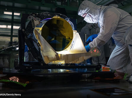
Precision Optics

Precision Optics and Assemblies

High-performance, reliable optics for ground and space-based observation.
RS-25 Engine

RS-25 Engine

Powering Deep Space Exploration
L3Harris Satellite and Payload Processing

Satellite and Payload Processing

World-class commercial space operations services at Vandenberg Air Force Base
HIGH-RESOLUTION IMAGERY

Satellite Imagery

L3Harris has partnered with the leading satellite imagery providers to offer a wide variety of imagery resolutions from 30 cm to 15 m data for any location in the world.
Missile takes off in the sky

Solid Rocket Motors

Proven Propulsion. Fueled by Innovation.
SAR_satsense_hero

Synthetic Aperture Radar: SAR Data

Synthetic Aperture Radar (SAR), an innovative solution for collecting and analyzing data in adverse weather. SAR allows you to see through rain, smoke, clouds and even darkness to obtain high-resolution imagery at critical moments.
TANSO-FTS-2 Greenhouse Gas Observing Satellite-2 Payload

TANSO-FTS-2 Greenhouse Gas Observing Satellite-2 Payload

The payload, known as the Thermal and Near Infrared Sensor for Carbon Observation-Fourier Transform Spectrometer-2 (TANSO-FTS-2), will measure the density of greenhouse gases in the atmosphere.
Visual Simulation Image

TrueTerrain™ Visual Simulation Products

Enhance your virtual training with superior geospatial technology and data. Our TrueTerrain™ Visual Simulation products help governments, militaries, and commercial programs elevate their training environments to achieve maximum results.
Vector Map

Vector Data: Digital Vector Maps

Choose from various types of digital vector data, including line, polygon, and point datasets, Aerodrome Mapping Databases (AMDB), Land Use Land Coverage (LULC) classifications, and other digital representations.
For over 50 years, L3Harris has been at the forefront of advancing weather satellite capabilities to improve the accuracy of weather forecasts, measure climate change and increase life-saving warning times.

Weather Satellite Technology

L3Harris’ innovative weather satellite solutions are critical to improving the accuracy of weather forecasts, measuring climate change and increasing life-saving warning times.
Weather Sustainment

Weather Sustainment

L3Harris provides engineering, sustainment, software and hardware engineering, and management for range instrumentation
Show All

Showing 9 of 39

Related News

Nexus Background Stealth

Press release | 08. 04. 2026

L3Harris Completes Sale of Majority Stake in Commercial Space Propulsion, Power and Electronics Businesses to AE Industrial Partners

L3Harris Technologies has completed the sale of a majority stake in its commercial space propulsion, power and electronics businesses to AE Industrial Partners at a total enterprise value of $845 million.

Nexus Background Stealth

Press release | 08. 04. 2026

L3Harris Completes Sale of Majority Stake in Commercial Space Propulsion, Power and Electronics Businesses to AE Industrial Partners

Optical Engineer Bente Eegholm performs and inspection of Roman's Primary mirror. This was taken shortly after it was lifted out of the shipping container. Credit: NASA/Chris Gunn.

Editorial | 08. 03. 2026

Roman Space Telescope Will Survey a Century of Cosmos in Weeks: L3Harris Technology Makes It Possible

Employees work on an RS-25 engine

Press release | 07. 22. 2026

L3Harris Delivers SLS Core Stage Engines for Artemis III Mission

NASA artist's concept rendering of one design for the Habitable Worlds Observatory. Credit: NASA Goddard Space Flight Center.

Editorial | 06. 29. 2026

NASA Awards L3Harris Contract for Search-for-Life Mission

Artist's concept of the L3Harris Next Gen RTG in flight configuration, designed to provide 250 watts of reliable power for decades-long missions in deep space.

Editorial | 05. 14. 2026

Getting into the Space Nuclear Power Game with Next-Generation Technology

Supporting the Air and Space Forces

Learn More