We’re proud to aid scientists in unlocking the mysteries of the universe through our instrumental work in the assembly, integration and testing of the Hubble, James Webb and Nancy Grace Roman space telescopes. We’ve also developed critical technology for the upcoming Dragonfly mission to Titan – Saturn’s largest moon.
Civil Space
L3Harris has been pushing the boundaries of human knowledge and observation for decades.
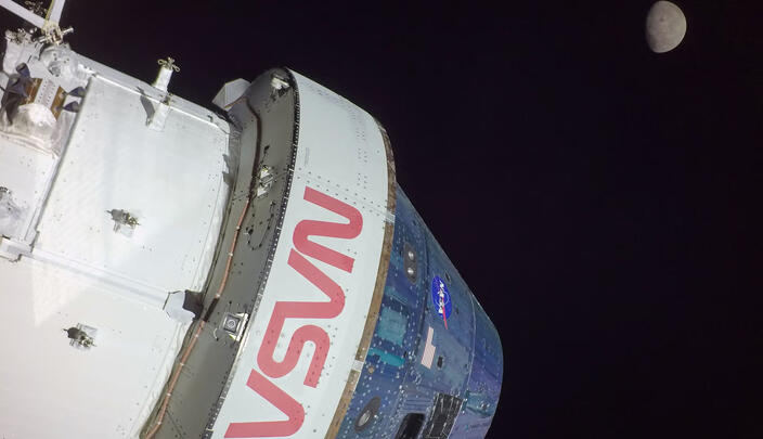
Our partnership with NASA spans the agency’s 60-plus year history – ranging from the Mercury, Gemini, Apollo, Space Shuttle, International Space Station and James Webb Space Telescope to exciting new programs like Artemis.


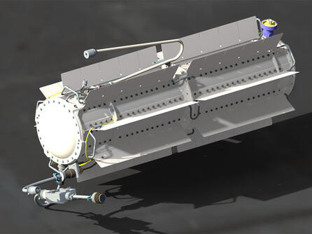
Weather Satellite Technology
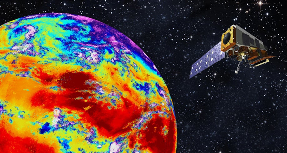
For over 50 years, L3Harris has been at the forefront of advancing weather satellite capabilities to improve the accuracy of weather forecasts, measure climate change and increase life-saving warning times.


Human Spaceflight
Artemis Missions
NASA's Artemis Program will explore the lunar surface like never before. L3Harris’ contributions to NASA’s Artemis missions include propulsion and electronics technology for NASA’s Space Launch System (SLS) rocket, Orion spacecraft and Gateway lunar space station.
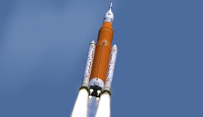
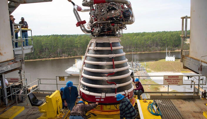
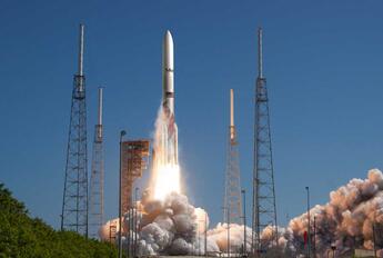
Space Launch System
NASA’s Space Launch System (SLS) rocket is a foundational element of NASA’s Artemis Program.
SLS is the only rocket capable of sending the Orion spacecraft and large amounts of cargo directly to the moon in a single launch.
SLS’s payload volume and departure energy make it a great choice for launching spacecraft, habitats and support systems for living and working in deep space. SLS can also support the science community’s boldest missions.
Orion spacecraft
L3Harris supplies the Orion audio system and provides 21 propulsion systems, as well as composite overwrapped pressure vessels to support operation of the spacecraft.


Universe Exploration
As a valued mission partner on enduring space missions, L3Harris enables the entire mission value chain, from planning and design to integration and execution. We also provide innovative solutions for missions on the horizon.

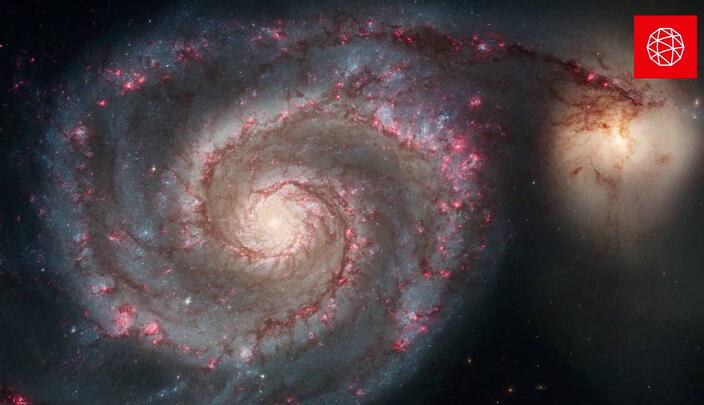
James Webb Space Telescope
The James Webb Space Telescope, commonly referred to as "Webb," is the world's largest, most powerful telescope. It provides unprecedented images of the universe's first stars and galaxies. L3Harris’ engineers and technicians played a key role in assembling, integrating and testing NASA's ultra-powerful Webb telescope – which enables scientists to observe a part of space and time never seen before.
Nancy Grace Roman Space Telescope
L3Harris is responsible for some of the most important tasks to create the telescope, including assembling the primary mirror. L3Harris created hardware to accommodate and interact with the two main scientific instruments on the telescope: the Wide Field Instrument and the Coronagraph.
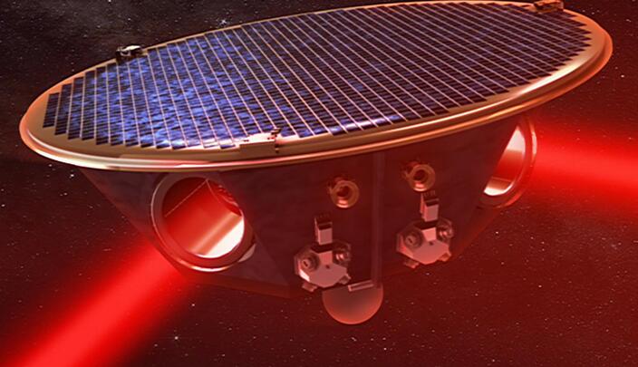
Laser Interferometer Space Antenna (LISA)
Scheduled to launch in the 2030s, LISA is comprised of a constellation of three spacecraft in an equilateral triangular formation, 2.5 million kilometers apart, in the same orbit as the Earth around the sun but trailing the Earth by 20 degrees in orbital phase. LISA detects gravitational waves by measuring the displacements between pairs of satellites with laser beams sent through optical telescopes on each satellite.
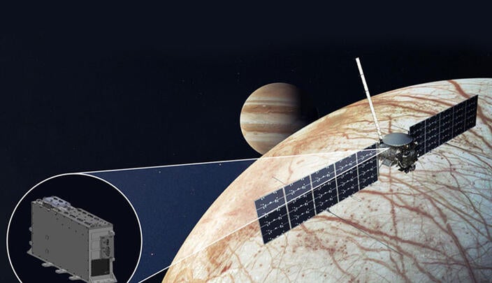
Europa Clipper Robotic Spacecraft
L3Harris is providing NASA’s Jet Propulsion Laboratory with circuit boards to be integrated into the radar instrument, Radar for Europa Assessment and Sounding: Ocean to Near-surface, or REASON. REASON will use radar to measure the thickness of the ice on Europa – a moon of Jupiter that could have a life-sustaining ocean below its surface.
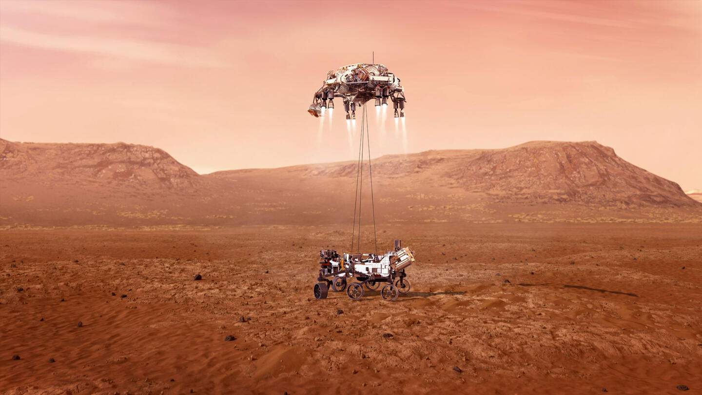
Photo courtesy of NASA/JPL-Caltech
Mars Rover
L3Harris has provided crucial support for every U.S. Martian rover mission and orbiting spacecraft, providing essential transceivers as well as power and propulsion technology. Our innovations have been integral to NASA's Spirit, Opportunity, Curiosity and Perseverance vehicles. To study the Martian environment, samples from the planet's surface must embark on a 140-million-mile journey over seven months. This interstellar voyage demands rugged, reliable technology, and L3Harris rises to the challenge with four transceivers planned for the Mars Sample Return (MSR) campaign, with the potential for additional transceivers as the mission evolves. This groundbreaking initiative, a collaboration between NASA and the European Space Agency (ESA), aims to bring Martian samples back to Earth for the first time, shedding light on the planet's environment and the possibility of ancient life. Central to this ambitious project is the Mars 2020 Perseverance rover, which is diligently exploring the Martian surface and collecting samples destined for Earth. Through our cutting-edge technology and unwavering commitment, L3Harris continues to drive human curiosity and exploration, pushing the boundaries of what is possible in space exploration.
Propulsion and Power
Avionics, Sensors and Transceivers
Multi-Mission Radioisotope Thermoelectric Generators (MMRTGs)


All Civil Space Capabilities


Showing 9 of 54